What is recorded here
Kealties held two earth rings on an east-facing slope, watching Dunmanus Bay and the Mizen Peninsula. Ploughs and people erased both, leaving only pasture and memory. What remains is a view so clear it becomes a room: sea light, distance, and the shape of what was lost.
In pasture, on E-facing slope, commands view to S over Dunmanus Bay to Mizen Peninsula. Levelled; no visible surface trace. Levelled possible ringfort (CO130-02201-) in same field to SW.
The above description is derived from the published 'Archaeological Inventory of County Cork. Volume 1: West Cork' (Dublin: Stationery Office, 1992). In certain instances the entries have been revised and updated in the light of recent research.
Date of upload/revision: 14 January 2009
The monument record does not grant public access. Check the route and ask the landowner before entering private land.
- What survives
- Recorded monument
Places near here
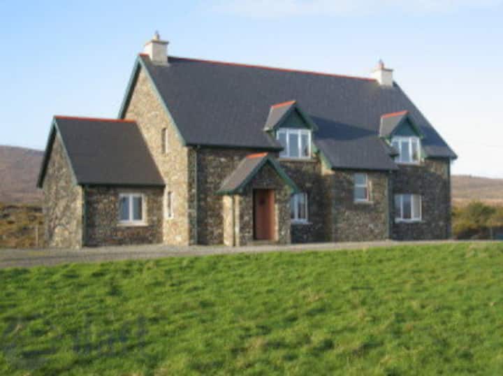 LisualinaghFairy fort / earthen ringfort · 1756 yd
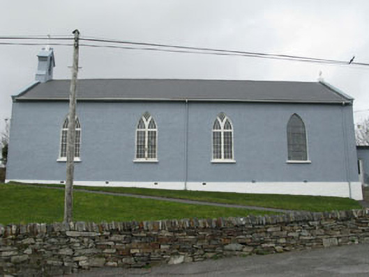 St. Patrick's Roman Catholic Churchchurch/chapel · 1.0 mi
 Mautimile FortFairy fort / earthen ringfort · 1.1 mi
 Glanlough LoopWalking route · 1.1 mi
 Air India Flight 182 Crash MemorialMemorial · 1.4 mi
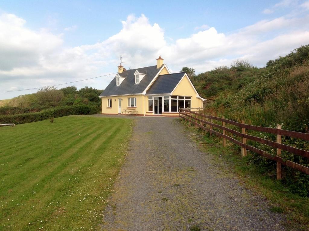 GouladaneMountain / peak · 1.4 mi
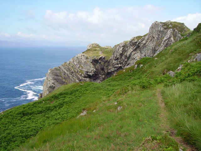 Sheep's Head WayWalking route · 1.5 mi
 Ahakista Bridgebridge · 1.6 mi
 Dunbeacon Castle (in Ruins)Castle, tower house · 1.7 mi
 Owen's IslandIslet · 1.8 mi
 Rossmore Castle (in Ruins)Castle, tower house · 2.0 mi
 Mannion's Island (Large)Islet · 2.1 mi