What is recorded here
Kealties is a field of ghosts and grass. A circle of earth stood there when the surveyors came, now swallowed by pasture and time. The fort forgot itself, or perhaps it was never built at all.
In pasture, atop hill. On 1st ed. OS 6-inch map (1842) as circular enclosure. No visible surface trace survives.
The above description is derived from the published 'Archaeological Inventory of County Cork. Volume 1: West Cork' (Dublin: Stationery Office, 1992). In certain instances the entries have been revised and updated in the light of recent research.
Date of upload/revision: 14 January 2009
The monument record does not grant public access. Check the route and ask the landowner before entering private land.
- What survives
- Recorded monument
Places near here
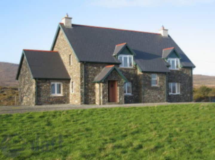 LisualinaghFairy fort / earthen ringfort · 1652 yd
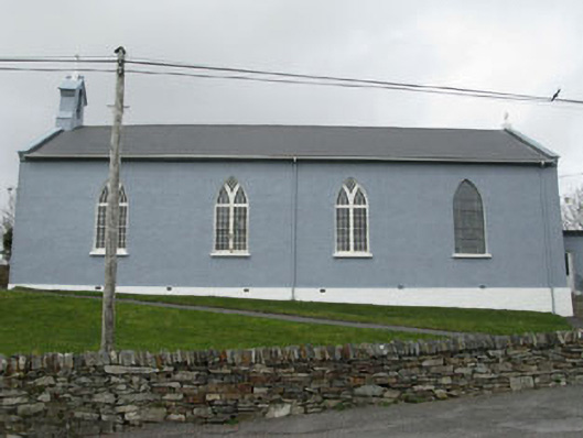 St. Patrick's Roman Catholic Churchchurch/chapel · 1740 yd
 Glanlough LoopWalking route · 1.1 mi
 Mautimile FortFairy fort / earthen ringfort · 1.1 mi
 Air India Flight 182 Crash MemorialMemorial · 1.3 mi
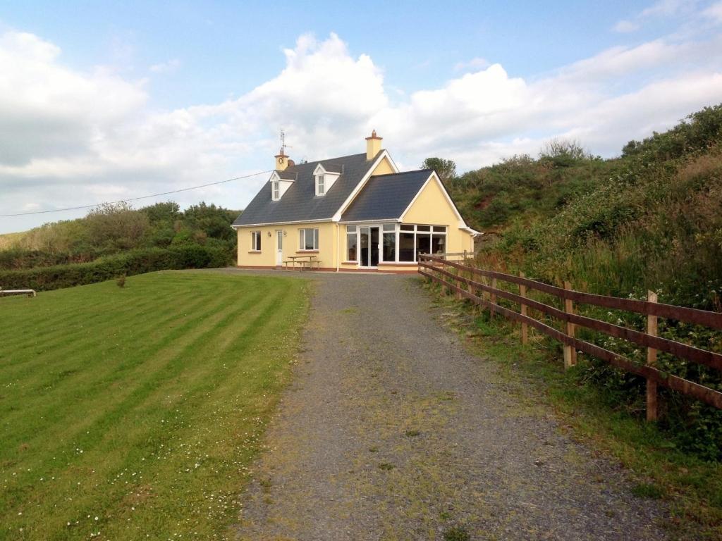 GouladaneMountain / peak · 1.4 mi
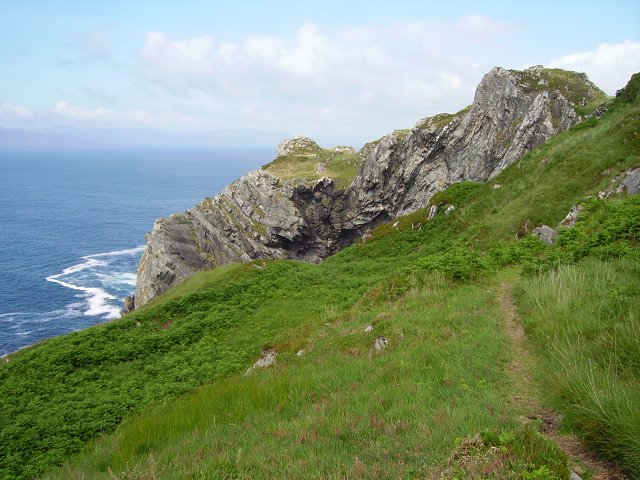 Sheep's Head WayWalking route · 1.5 mi
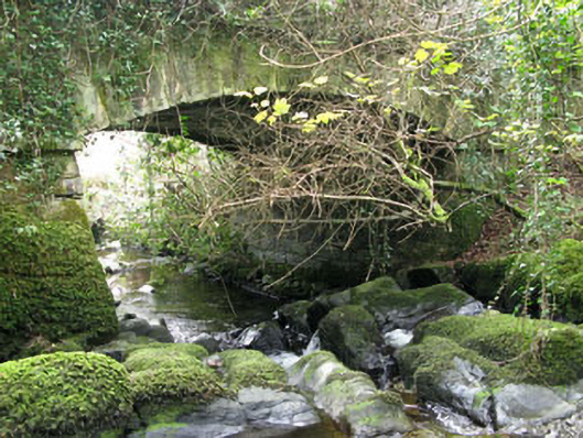 Ahakista Bridgebridge · 1.6 mi
 Dunbeacon Castle (in Ruins)Castle, tower house · 1.7 mi
 Owen's IslandIslet · 1.8 mi
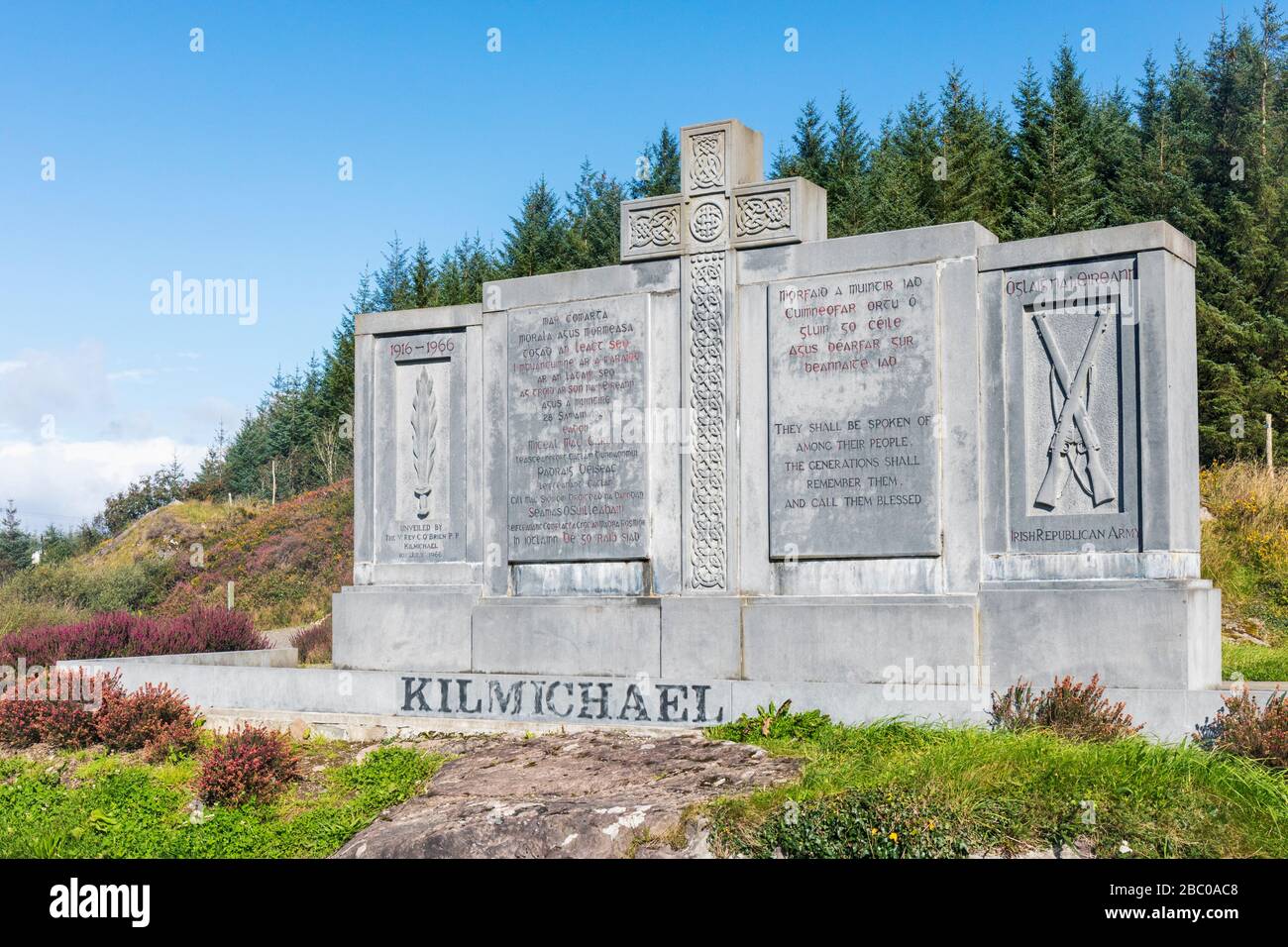 Tom Whitty memorialMemorial · 2.0 mi
 Rossmore Castle (in Ruins)Castle, tower house · 2.1 mi