What is recorded here
Bare little fort, Lisin Maol, stood atop a Keale North hillock before ploughs and time erased its rampart. Bowman measured thirty-seven yards of vanished circle in 1934, but the land gives back no stone, no shadow, no edge to touch. What remains is a flat grazed bump where an entire life may have raged, hidden now under grass and forgetfulness.
In rough grazing land, atop hillock. Depicted as hachured circular enclosure (diam. c. 28m) on 1842 OS 6-inch map. Levelled; no visible surface trace. Recorded by Bowman (1934, 288) as levelled single-ramparted fort (diam. c. 37yd) on J. Dennehy's land and called 'LISIN MAOL - Bare little fort'.
The above description is derived from the published 'Archaeological Inventory of County Cork. Volume 4: North Cork' (Dublin: Stationery Office, 2000). In certain instances the entries have been revised and updated in the light of recent research.
Date of upload/revision: 14 January 2009
The monument record does not grant public access. Check the route and ask the landowner before entering private land.
- What survives
- Recorded monument
Places near here
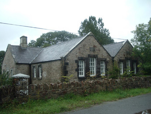 Old School Houseschool · 670 yd
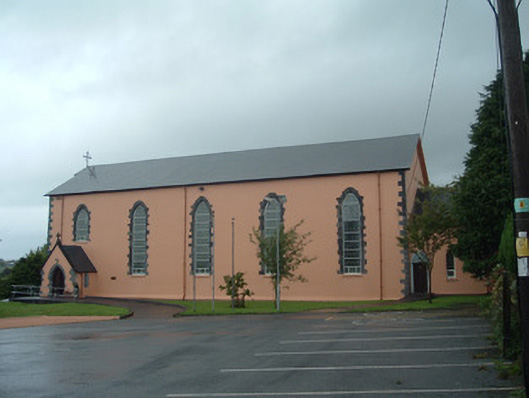 Church of the Presentation of Our Ladychurch/chapel · 679 yd
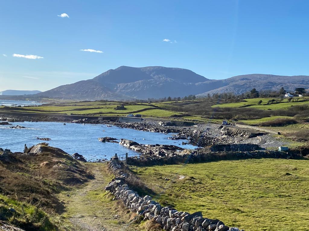 Man-made underground passage in Island-DahillMan-made underground passage · 1227 yd
 Man-made underground passage in Cloonbannin EastMan-made underground passage · 1466 yd
 Drominagh Castle (Site of)Castle, unclassified · 1.4 mi
 Dromsicane Castle (in Ruins)Bawn · 2.6 mi
 Rathcool WoodWood · 2.7 mi
 Battle of Knocknaclashybattle · 3.2 mi
 Millstreet Tourist InformationVisitor information · 4.1 mi
 St. Patrick's ChurchVisitor information · 4.2 mi
 Millstreet Museum & Tourist Information CentreMuseum · 4.2 mi
 RowanRowan · 5.0 mi