What is recorded here
No wall or gate remains, only a faint circular shadow on old maps and a sudden drop in grass where the earth may still hold its shape. The fort vanished beneath pasture and forgetting, yet it could be recovered through soil, patience and care. What is missing is not gone, but waiting to be read.
On a rise is open pastureland, formerly demesne land. Marked on OS 6-inch maps as a circular enclosure (D c. 40m). No visible surface trace survives.
The above description is derived from the published 'Archaeological Inventory of County Galway Vol. II - North Galway'. Compiled by Olive Alcock, Kathy de hÓra and Paul Gosling (Dublin: Stationery Office, 1999).
Date of upload: 05 August 2010
The monument record does not grant public access. Check the route and ask the landowner before entering private land.
- What survives
- Recorded monument
Places near here
 Brownnsgrove Housedemesne walls/gates/railings · 87 yd
 Beagh FortFairy fort / earthen ringfort · 1460 yd
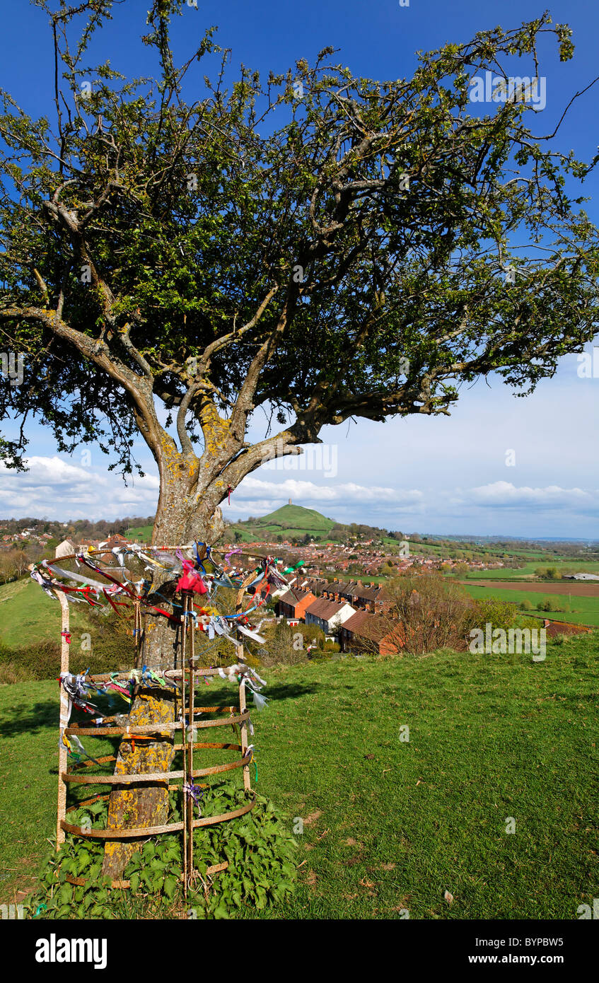 Ritual siteRitual site, holy tree/bush · 1478 yd
 Site of Doonbally CastleCastle, unclassified · 1.5 mi
 Saint Patrick's Catholic Churchchurch/chapel · 1.7 mi
 Castle (in ruins)Castle, tower house · 2.8 mi
 European ashEuropean ash · 4.2 mi
 Mass RockNamed rock · 6.2 mi
 KnockmaaWood · 9.0 mi
 Knockmoy AbbeyHeritage attraction · 9.0 mi
 Enclosure in Carrowrevagh MoreEnclosure · 1714 yd
 Enclosure in Carrowntanlis,carrowrevagh MoreEnclosure · 1.3 mi