What is recorded here
Fairy fort / earthen ringfort in Johnstown (delvin By., Kilcummy Ed) is a fairy fort or earthen ringfort in Johnstown (delvin By., Kilcummy Ed), County Westmeath, Ireland. The surviving structure is a roughly circular area with an approximate diameter of 26 metres, enclosed by an earthen bank that defines the earthwork. It sits on the western edge of a ridge running roughly north-northwest to south-southeast, overlooking a stream 70 metres to the east that flows into Lough Adeel. A possible rectangular annexe or small field to the east is defined by an earthen bank and an external fosse, while a nearby ringfort stands 500 metres to the east.
Situated at the W edge of a ridge running roughly NNW-SSE overlooking stream 70m to E which flows into Lough Adeel located 280m to SE. Ringfort (WM008-037----) 500m to E, castle earthworks (WM008-030---) 770m to WSW. Present remains consist of a roughly circular-shaped area (approx. diam. 26m) enclosed by an earthen bank with possible rectangular shaped annexe or small field to E which is defined by an earthen bank and external fosse. Possible traces of a second enclosure immediately to N although this is uncertain as the remains are quite faint and may be post-1700 in date relating to land improvement works. Earthworks 60m to WNW consisting of a wide L-shaped fosse (approx. dims. 75m N-S x 50m E-W) creating a possible rectangular paddock or field bisected by a drainage ditch shown on the OS 25-inch map running E-W is related to land reclamation works of post 1700 date. The site is located in a reclaimed field which was once wetland associated with the NW shoreline of Lough Adeel. The 1910 ed. OS 25-inch map shows several linear drainage ditches in this field in the area to the NW of the possible ringfort. The linear drainage ditch running roughly N-S which forms the W side of a rectangular-shaped field to WNW of ringfort is one of the drainage ditches depicted on the OS 25-inch map.
Compiled by: Caimin O'Brien based on details provided by Emmet Byrnes
Date of upload: 31 December 2019
The monument record does not grant public access. Check the route and ask the landowner before entering private land.
- What survives
- Recorded monument
Places near here
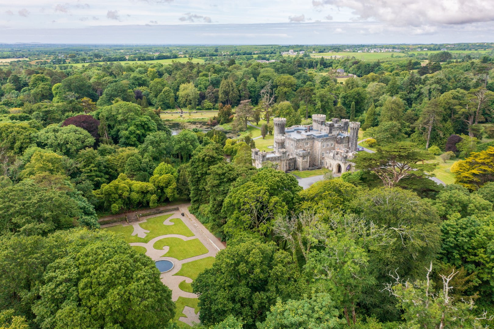 CastleCastle, tower house · 873 yd
 The FurzeForest · 1236 yd
 Corn Mill, Mill PondWater mill, unclassified · 1247 yd
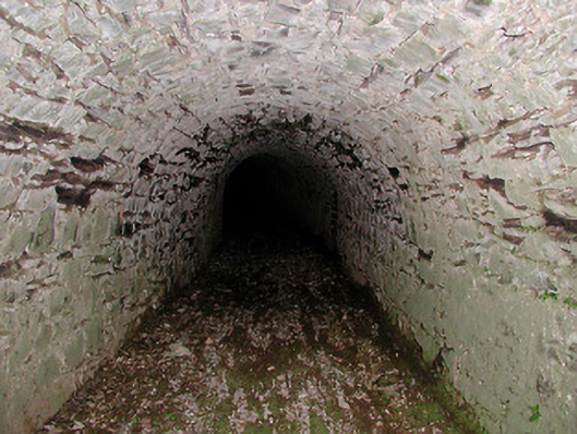 Drumcree Housetunnel · 1.1 mi
 Bawn in Scurlockstown (delvin By.)Bawn · 1.3 mi
 IndicatedEnclosure · 1.5 mi
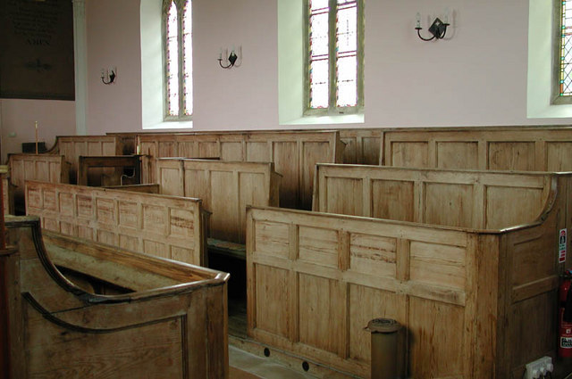 Ecclesiastical enclosure in KilcumnyEcclesiastical enclosure · 1.7 mi
 Noggin HillMountain / peak · 2.0 mi
 The Sloe HillMountain / peak · 2.0 mi
 Castle IslandIslet · 2.6 mi
 South East GateHeritage attraction · 2.9 mi
 St Feichin's MillHeritage attraction · 3.1 mi