What is recorded here
Three rings of earth and ditch circled a hundred metres of Kenmare terrace, watching the Dinin valley from above the flood plain. Then men came with machines and erased what centuries had held. The grass closed over the scars within two years, leaving only a faint shadow in aerial pictures and a hole in local memory where a fortified life once turned with the seasons.
On the SE edge of a terrace above flood plain c. 170m N of the Dinin River, with land rising gently to the N and NW, in pasture. There are good views in all directions. This monument, probably a trivallate ringfort (overall diam. c. 100m), was levelled between 1971 and 1973. It is shown extant on aerial photograph (CUCAP BGG074, 16 July 1971) and appears to consist of an inner enclosure defined by a bank and wide fosse, another bank and fosse and suggestion of an outer bank. It appears as a cropmark on aerial photographs (CUCAP BOD022-BOD024, 10 July 1973) consisting of an enclosure (dims. c. 47m N-S; c. 57m E-W) defined by a wide internal fosse and narrower outer fosse, c. 15m apart. There is no break in either fosse. It is associated with a linear feature (KK014-010002-) to the SW. It is not visible at ground level. The defensive nature of this monument, as indicated on the 1971 aerial photograph, might suggest it is a ringwork rather than a ringfort.
See attached:
KK014-010001-_01 Google Earth image (imagery date 28 June 2018)
KK014-010001-_02 CUCAP BGG074, 16 July 1971
Compiled by: Jean Farrelly
Date of upload: 12 May 2020
The monument record does not grant public access. Check the route and ask the landowner before entering private land.
- What survives
- Recorded monument
Places near here
 Enclosure in Kirwan's InchEnclosure · 449 yd
 Dinin Bridgebridge · 766 yd
 Jenkinstown ParkForest · 791 yd
 Enclosure in ArdalooEnclosure · 856 yd
 Tower Bridgebridge · 877 yd
 Trinity WellSpring · 1354 yd
 Saint Coleman's WellSpring · 1716 yd
 Ardaloo Castle (in ruins)Castle, unclassified · 1.1 mi
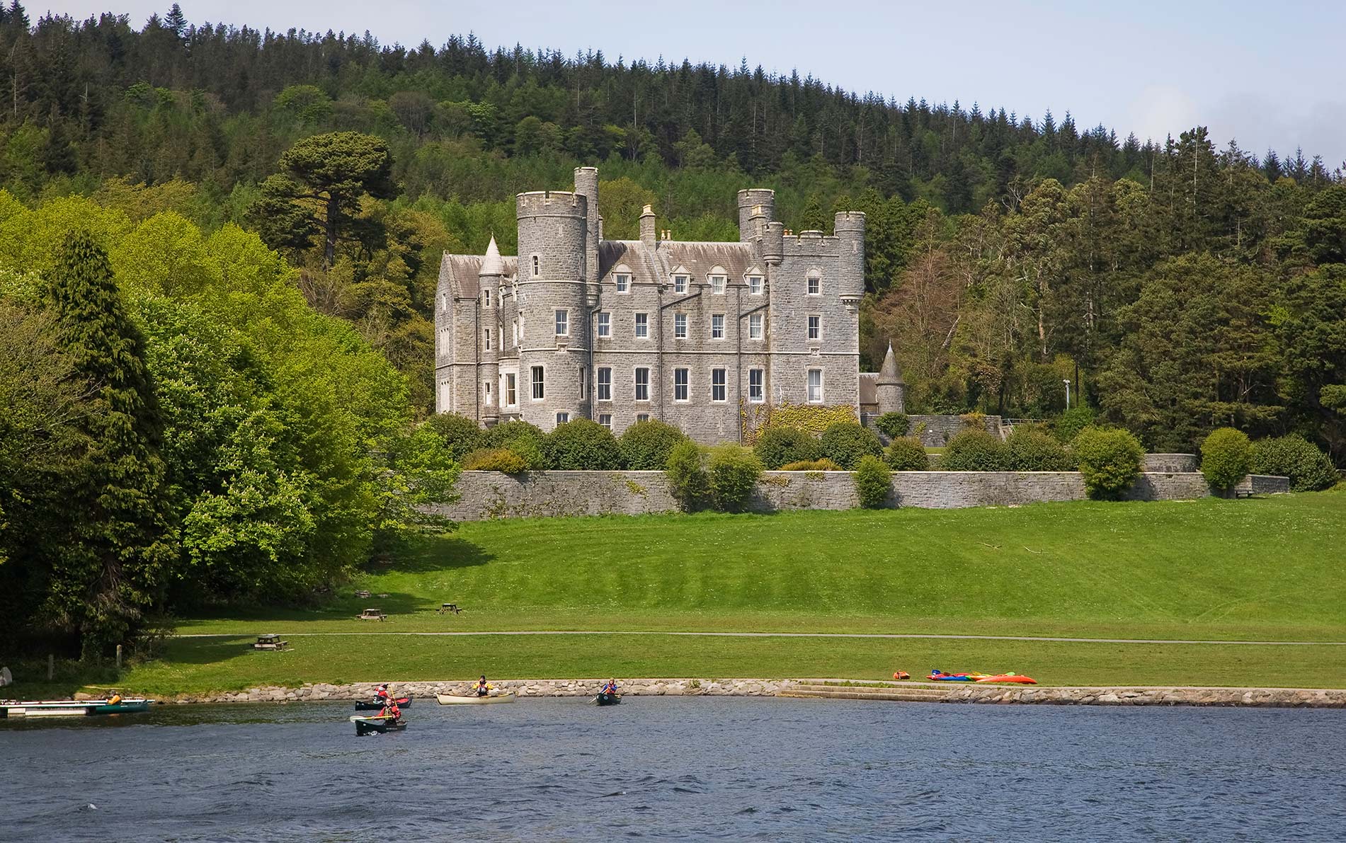 CastleCastle, unclassified · 1.2 mi
 Turkey OakTurkey Oak · 1.6 mi
 Graveyard in ThreecastlesGraveyard · 1.6 mi
 Mohil GraveyardArchaeological place · 1.7 mi