What is recorded here
Fairy fort / earthen ringfort in Jamestown (rathconrath By., Churchtown Ed) is a fairy fort or earthen ringfort in Jamestown (rathconrath By., Churchtown Ed), County Westmeath, Ireland. A 1971 description records a large subtriangular enclosure defined by an earthen bank, an external fosse, and an outer bank at the south-southwest of an adjoining D-shaped annexe. The annexe is enclosed by an earthen bank at the east and from south-southeast to south-southwest, with a gap at south-southeast probably representing the entrance. The site sits on a slight rise in gently undulating pasture with extensive views to the southeast.
Situated on a slight rise, in gently undulating pasture, with extensive views to SE. Monument described in 1971 as a large subtriangular-shaped area enclosed by an earthen bank and external fosse with a gap (Wth at top 5.4m; basal Wth 1.6m) at SSE which probably represents the entrance, although there is no definite trace of a causeway. The bank has several small disturbance gaps and is defaced at NNE. The bank is straight from E-S and incorporates a large stone at ENE. The fosse is wide, steep and flat-bottomed where it is best preserved from E-S-W and is almost completely infilled from W-N-E. Adjoining the fosse at W is a D-shaped annexe (dims. 28m NW-SE; 17.8m NE-SW) enclosed by an earthen bank at E and from SSE-S-SW. It has a fosse and an outer bank at SSW. The interior has traces of cultivation ridges running NW-SE. A large-scale field system surrounds the monument and consists of a series of earthen banks and scarps. One such field bank crosses the fosse of the ringfort at SSE, to the E side of the entrance, whilst another field bank intersects the outer bank at W. This field system is not visible today on Digital Globe aerial photographs.
See attached profile of monument surveyed and drawn by the ASI.
Compiled by Alison McQueen, Vera Rahilly and Caimin O’Brien.
Date of upload: 03 September 2019
The monument record does not grant public access. Check the route and ask the landowner before entering private land.
- What survives
- Recorded monument
Places near here
 Ancient Ring FortWood · 426 yd
 R.C. ChapelChapel · 492 yd
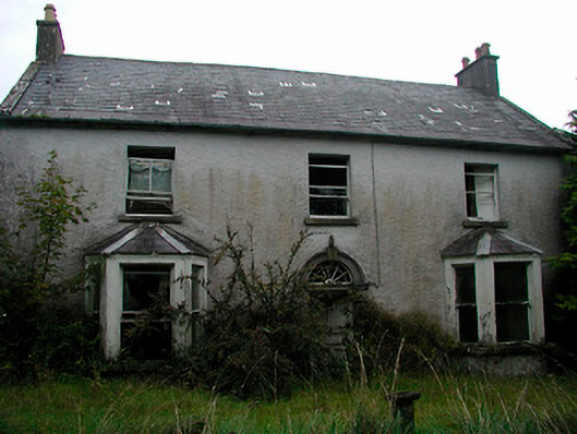 Churchtown Househouse · 539 yd
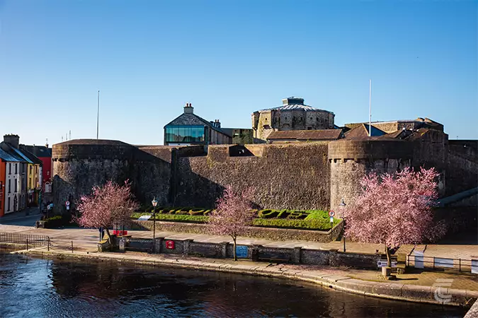 Oldtown CastleCastle · 805 yd
 IndicatedSettlement deserted, medieval · 884 yd
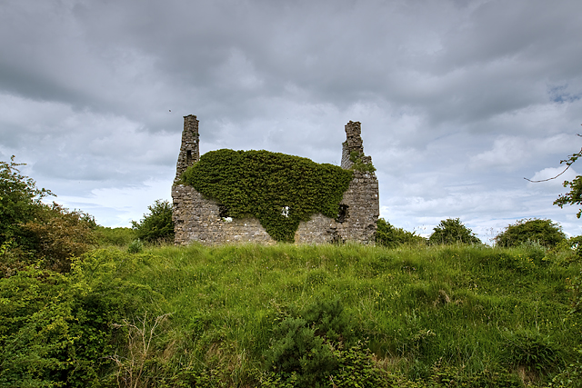 Dundonnell CastleCastle, unclassified · 1037 yd
 RathglassEnclosure, large enclosure · 1335 yd
 Hill of UisneachMountain / peak · 3.3 mi
 European ashEuropean ash · 4.2 mi
 Carrickphilbin IslandIslet · 5.9 mi
 Srudarra IslandIslet · 6.0 mi
 Abbeyshrule AbbeyRuins · 9.3 mi