What is recorded here
Issane holds a broken fairy fort where cattle still graze the eastern slope. Its earthen bank stands one to two metres high, marked by old stone facing and two narrow gaps that invite entry rather than keep out. The round shape suggests human hands, yet local memory assigns it to fairies, leaving the true builder unnamed and the purpose unrecorded.
In pasture, on E-facing slope below brow of hill. Circular area (27m N-S; 26.8m E-W) enclosed by earthen bank (int. H 1m; ext. H 1.5m) SE->ENE, and defined by scarped edge (H 2.3m; Wth 1.9m) ENE->SE. Bank, best preserved N->ENE, has remains of inner stone-facing SE->SW. Gaps in bank at WSW (Wth 2.35m) and NNW (Wth 3.3m). Interior, under pasture, slopes down gently to E.
Compiled by: Denis Power
Date of upload: 26 August 2011
The monument record does not grant public access. Check the route and ask the landowner before entering private land.
- What survives
- Recorded monument
Places near here
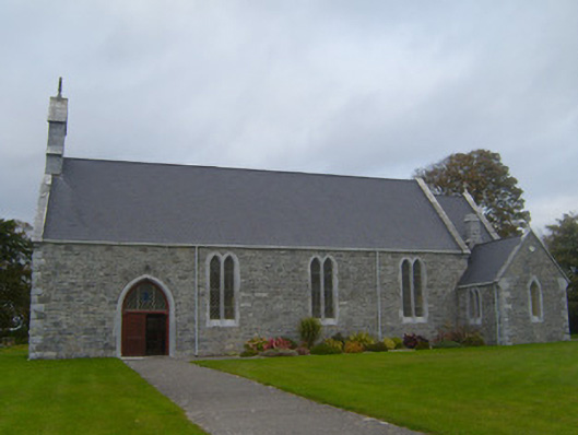 Saint Patrick's Catholic Churchchurch/chapel · 950 yd
 Beagh Church (in ruins)Church · 1192 yd
 Court BrownArchaeological place · 1.2 mi
 Beagh Castle (in ruins)Castle, tower house · 1.5 mi
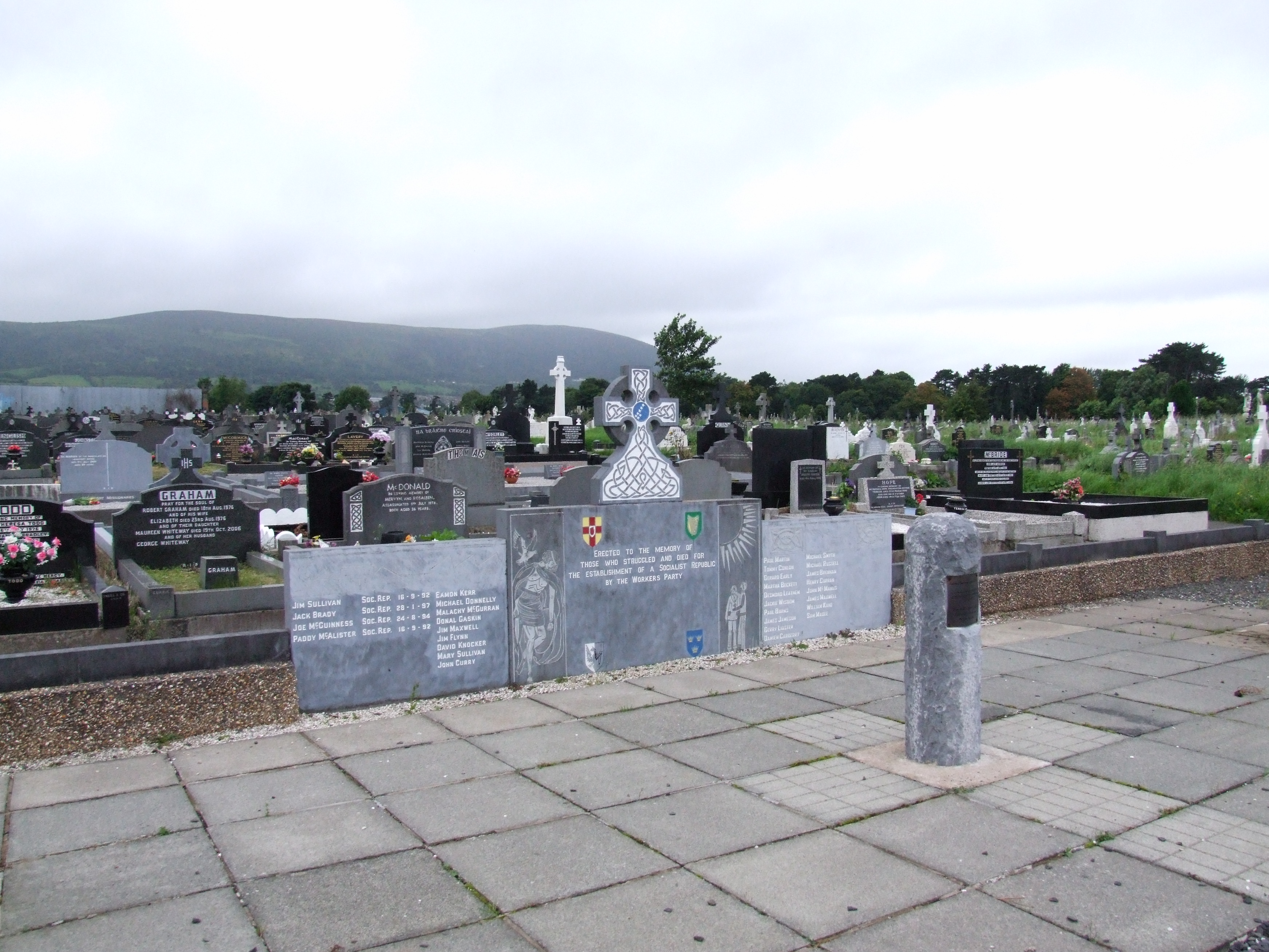 (Site of) Grave YardBurial ground · 1.5 mi
 Ballynash CastleCastle, unclassified · 1.6 mi
 Courtbrown PointHeadland · 1.8 mi
 Greenish IslandIslet · 2.0 mi
 Holly IslandIslet · 2.6 mi
 Horse RockNamed rock · 2.7 mi
 Askeaton CastleHeritage attraction · 2.8 mi
 Ringmoylan PierVisitor information · 3.8 mi