What is recorded here
Fairy fort / earthen ringfort in Irishtown (rathconrath By.) is a fairy fort or earthen ringfort in Irishtown (rathconrath By.), County Westmeath, Ireland. Situated on a west-facing slope of rising ground and surrounded by poor grassland, the site consists of a circular area approximately 25 metres wide from east to west. It is enclosed by a low, poorly preserved earth and stone bank that is mainly reduced to a scarp, with very slight remains of an external fosse and evidence of internal stone facing visible from northeast to southwest. The interior is uneven and contains dumps of stone, while a relict field bank has levelled the perimeter of the monument at the northeast.
Situated on W facing slope of rising ground, surrounded by poor grassland. A circular shaped area (approx. diam. 25m E-W) enclosed by a low poorly preserved earth and stone bank mainly reduced to a scarp with very slight remains of an external fosse. The bank has evidence of internal stone facing visible from NE-SW. The interior is uneven and contains dumps of stone. A relict field bank has levelled the perimeter of the monument at NE.
Compiled by: Frank Coyne and Caimin O'Brien
Date of upload: 13 February 2018
The monument record does not grant public access. Check the route and ask the landowner before entering private land.
- What survives
- Recorded monument
Places near here
 Partially indicatedFairy fort / earthen ringfort · 931 yd
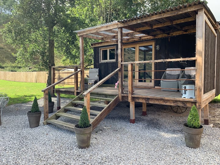 Hut site in BigfurzeHut site · 1124 yd
 Site of CastleCastle, unclassified · 1.0 mi
 CastleCastle, unclassified · 1.2 mi
 Rathcastle Househouse · 1.3 mi
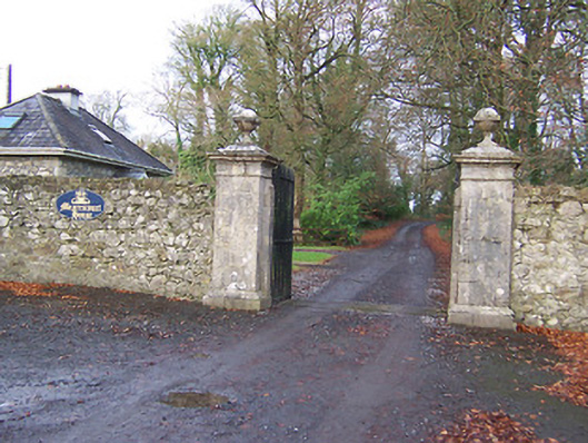 Mearscourt Housedemesne walls/gates/railings · 1.4 mi
 Ancient Ring FortWood · 2.0 mi
 Horse-chestnutHorse-chestnut · 3.5 mi
 Abbeyshrule AbbeyRuins · 4.2 mi
 Craft WorkshopHeritage attraction · 6.0 mi
 Guest ServicesVisitor information · 6.0 mi
 Noughaval CemeteryArchaeological place · 9.3 mi