What is recorded here
Fairy fort in Inchinapallas: circular earthen enclosure about 25m across, mapped in 1842 on a gentle south-west slope, now levelled and without visible trace. It may have been a farmstead, a boundary marker, or a child’s running ring before ploughs and feet smoothed it into grass. The name suggests people once believed the fairies had built it or kept it, which is not the same as knowing what it was.
In pasture, on gentle SW-facing slope. Depicted as hachured circular enclosure (diam. c. 25m) on 1842 OS 6-inch map. Levelled; no visible surface trace.
The above description is derived from the published 'Archaeological Inventory of County Cork. Volume 4: North Cork' (Dublin: Stationery Office, 2000). In certain instances the entries have been revised and updated in the light of recent research.
Date of upload/revision: 14 January 2009
The monument record does not grant public access. Check the route and ask the landowner before entering private land.
- What survives
- Recorded monument
Places near here
 Quarry in Commons (fermoy By., Litter Par.)Quarry · 822 yd
 Ring-ditch in Ballyhooly SouthRing-ditch · 1544 yd
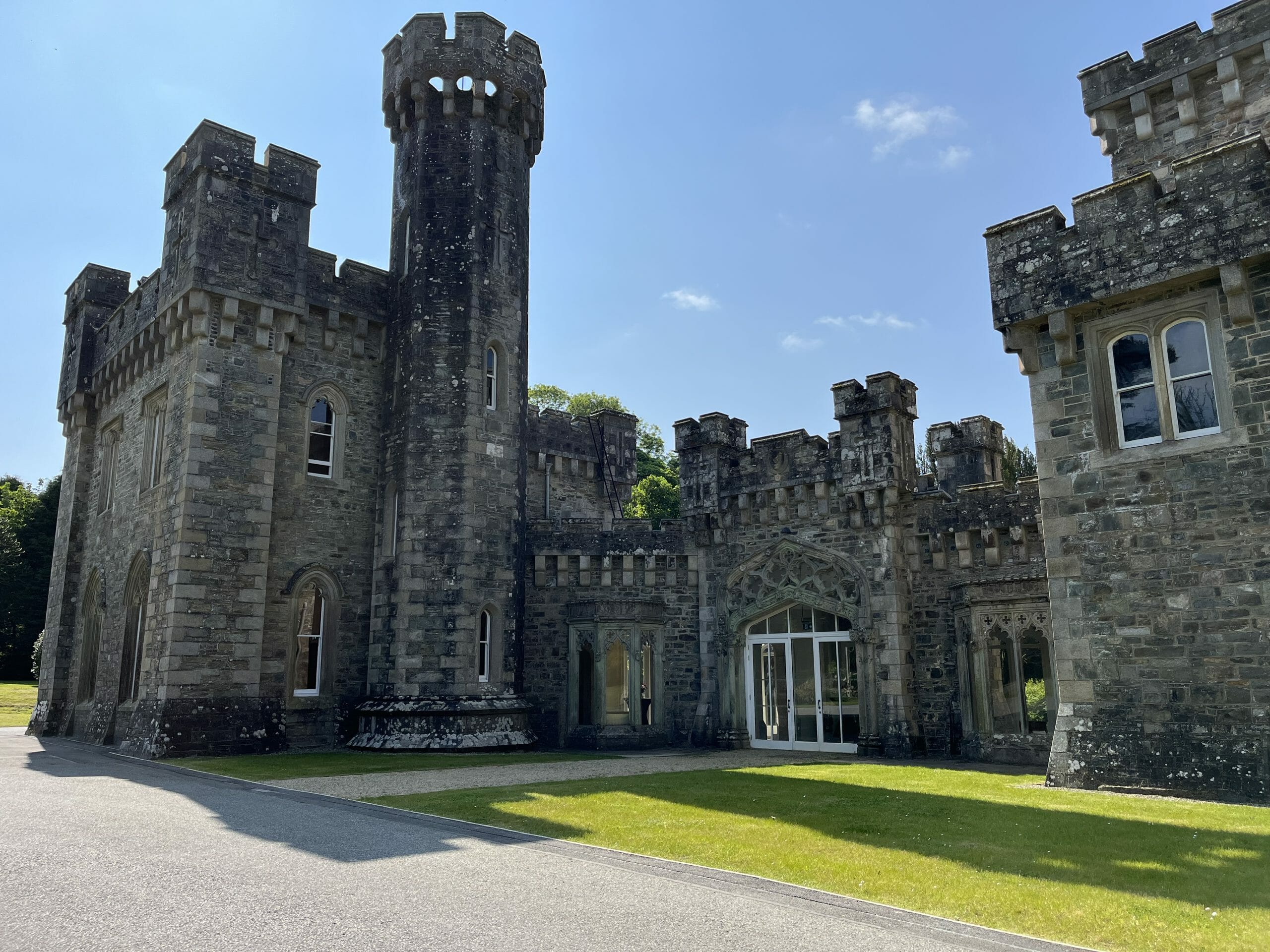 CastleCastle, unclassified · 1625 yd
 Enclosure in Ballyhooly SouthEnclosure · 1760 yd
 Woodfort Househouse · 1.0 mi
 Ballyhooly CastleCastle · 1.8 mi
 Graveyard in BoherashGraveyard · 2.1 mi
 Johnson's WoodForest · 2.3 mi
 Blackwater (Avondhu) WayWalking route · 2.3 mi
 Priest's WoodForest · 2.5 mi
 Cappagh XViewpoint · 3.6 mi
 Liam BurkeMemorial · 3.7 mi