What is recorded here
Inchenagh Island in Lough Ree once held a ringfort on an east-facing slope, but the earth was levelled in the nineteenth century and the fort vanished from local memory. The 1837 map still draws its eastern curve, preserving a shape that no longer exists. The island kept its name and its views while losing the wall that gave the place its identity.
On a gentle E-facing slope in pastureland, close to the centre of Inchenagh Island in Lough Ree, with good views all round. Depicted as the E half of an enclosure, curving from NNW-N-S, with the designation 'Fort' on the 1837 ed. of the OS 6-inch map. The monument was levelled in the 19th century and is not remembered locally. Not visible at ground level.
Compiled by: Patrick F. O'Donovan
Date of upload: 12 January 2012
The monument record does not grant public access. Check the route and ask the landowner before entering private land.
- What survives
- Recorded monument
Places near here
 Little IslandIslet · 733 yd
 Bushy IslandIslet · 837 yd
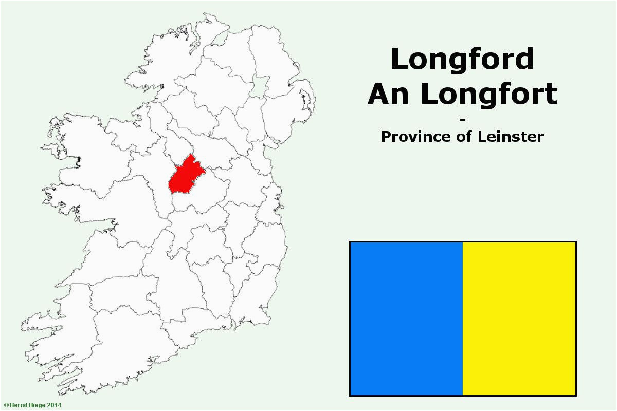 IndicatedFairy fort / stone ringfort · 1137 yd
 St. Martins WellHoly well · 1.1 mi
 Formoyle Ho. in ruinsHouse, 17th century · 1.6 mi
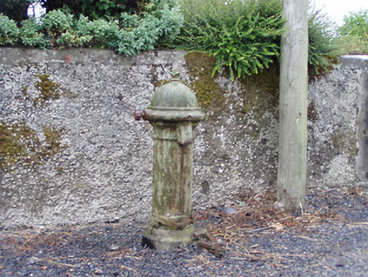 water pumpwater pump · 1.6 mi
 Rathcline CastleBawn · 2.3 mi
 Cruit BayBay · 2.4 mi
 White Sand WoodWood · 2.8 mi
 Cruit PointHeadland · 2.9 mi
 Wild birdsVisitor information · 3.3 mi
 Galey CastleCastle, tower house · 3.4 mi