What is recorded here
Situated in a relatively low-lying landscape. The cropmark of a circular enclosure (diam. c. 35m) defined by a narrow fosse feature, with portion of an inner fosse S-W is visible on aerial photograph (CUCAP: AVS, 3). It does not appear on other aerial photographic series.
The above description is derived from the published 'Archaeological Inventory of County Meath' (Dublin: Stationery Office, 1987). In certain instances the entries have been revised and updated in the light of recent research.
Revised by: Michael Moore
Date of revision: 26 October 2018
The monument record does not grant public access. Check the route and ask the landowner before entering private land.
- What survives
- Recorded monument
Places near here
 Site of Old CastleCastle, unclassified · 665 yd
 Cromwell's BatteryArchaeological place · 684 yd
 Gun HillMountain / peak · 695 yd
 Cromwells BatteryFortification · 703 yd
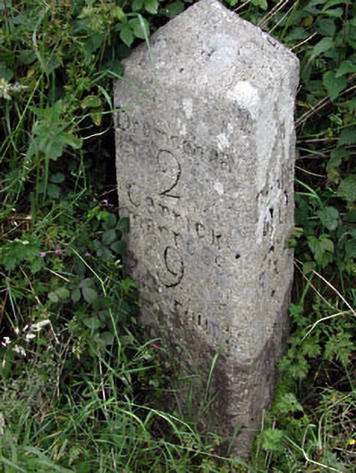 milestone/milepostmilestone/milepost · 748 yd
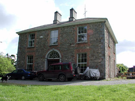 Siddan Househouse · 805 yd
 Site of Siddan castleCastle, unclassified · 930 yd
 Screedoge HillMountain / peak · 2.4 mi
 Valley WoodWood · 2.8 mi
 European YewEuropean Yew · 3.7 mi
 Nobber GreenwayMemorial · 4.8 mi
 Sir Frederick Foster MemorialMemorial · 5.0 mi