What is recorded here
Situated on fairly flat ground, sloping gently to the NE, in pasture. A small, circular area (diam. 25m N-S; 24.5m E-W) defined by a substantial earthen bank (Wth 2.7m; int. H 1.35m; ext. H 2.26m) and a possible outer fosse though this is obscured by heavy nettle growth. There is no trace of the fosse in the NE quadrant. Gaps occur at SE (Wth c. 6m) and W (Wth 3.7m) and both appear to have been broken through or at least widened to provide access. The interior is used as a 'circuit' for horses. The base of the bank is fenced off with wooden posts and electric fencing and brushwood is piled up against the inner face.
The above description is derived from 'The Archaeological Inventory of County Tipperary. Vol. 1 - North Tipperary' compiled by Jean Farrelly and Caimin O'Brien (Dublin: Stationery Office, 2002). In certain instances the entries have been revised and updated in the light of recent research.
Date of upload/revision: 22 September 2008
This remains an important historical record, but the official description says the monument is no longer visible or has been destroyed. The monument record does not grant public access. Check the route and ask the landowner before entering private land.
- What survives
- No visible remains or recorded as destroyed
Places near here
 Enclosure in HolycrossEnclosure · 408 yd
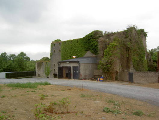 Holycross Distillerymill (water) · 1137 yd
 Church Househouse · 1291 yd
 Abbey WellHoly well · 1477 yd
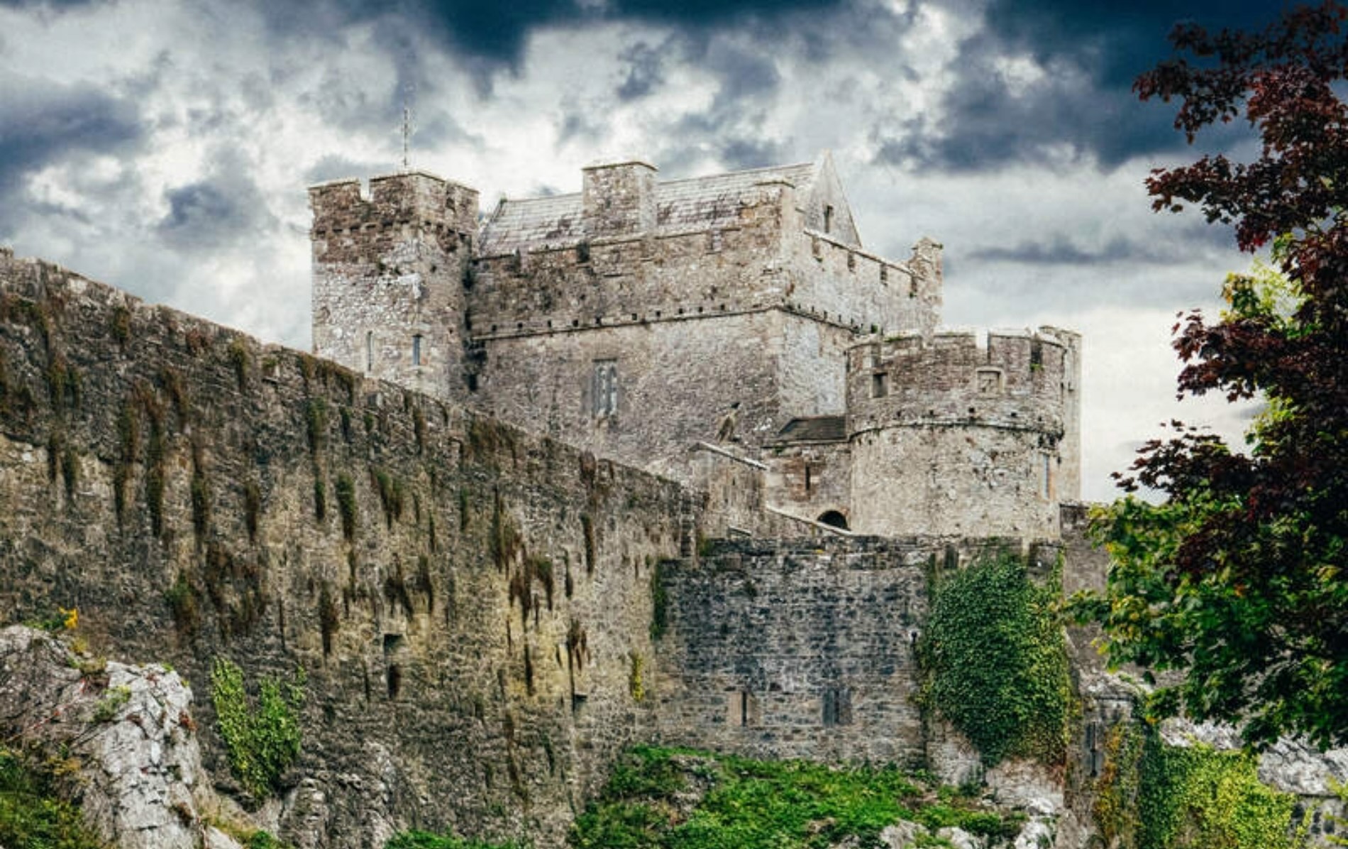 Castle (Site of)Castle, unclassified · 1.2 mi
 RathkennanCastle, motte and bailey · 1.3 mi
 Cormackstown Heritage CentreMuseum · 1.9 mi
 Killough Hill (site of)Mountain / peak · 2.8 mi
 Wildlife CorridorWood · 3.7 mi
 Clonoulty HillMountain / peak · 3.8 mi
 WoodlandWood · 4.1 mi
 Lár na PáirceMuseum · 4.2 mi