What is recorded here
Situated on a level landscape. The cropmark of a bivallate enclosure (int. diam. c. 40m; ext. diam. c. 60m) is visible on aerial photographs (MM (48) 19-23; ASIAP (10), 0-4) and on digital aerial photographs (WX041-058_1 to _4) taken in 2006. It is defined by two fosse features, but no entrance can be detected. A third fosse feature closely follows the innermost, between it and the outer feature. The enclosure can be seen faintly on the OSI series of aerial photographs (2005) and those of Google Earth (2011). Rath (WX041-059----) is c. 100m to the ENE.
WX041-058----_1.jpg from N
Compiled by: Michael Moore
Date of upload: 20 March, 2013
The monument record does not grant public access. Check the route and ask the landowner before entering private land.
- What survives
- Recorded monument
Places near here
 CastleHouse, fortified house · 301 yd
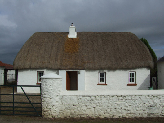 farm housefarm house · 336 yd
 Field system in Hilltown (shelmaliere West By.)Field system · 373 yd
 Field boundary in Hilltown (shelmaliere West By.)Field boundary · 797 yd
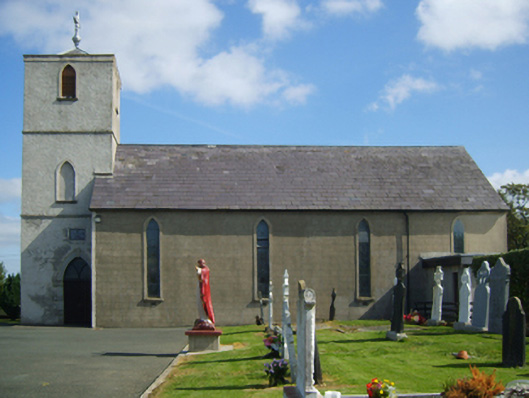 Saint Peter's Catholic Churchchurch/chapel · 909 yd
 Castle (in ruins)Castle, tower house · 1.2 mi
 Coolcliffe HouseRuins · 1.8 mi
 Carrig-On-BannowVisitor information · 3.2 mi
 1798 MemorialMemorial · 3.3 mi
 Cullenstown StrandBeach / strand · 4.5 mi
 Ballymadder PointHeadland · 5.0 mi
 Blackhall StrandBeach / strand · 5.1 mi