What is recorded here
Fairy fort in Highpark, County Limerick: a 22-metre earthen ring with a scarped edge and shallow outer ditch, set in low pasture but commanding views in every direction. People may have lived there, marked territory, or simply avoided the wet ground around it. The exact purpose has faded, yet the shape remains clear enough to walk beside and imagine.
Situated in low-lying, poorly-drained pasture, with good views in all directions. The monument is evident as a roughly circular area (22m NE-SW; 19.3m E-W) defined by a scarped edge (Wth 4.6m; H 0.6m) with an external fosse (Wth 2m; D 0.15m). in places there are faint traces of a counter-scarp bank.
Compiled by: Denis Power
Date of upload: 18 June 2013
The monument record does not grant public access. Check the route and ask the landowner before entering private land.
- What survives
- Recorded monument
Places near here
 BarrowBarrow, ditch barrow · 425 yd
 Enclosure in CloghnadrominEnclosure · 437 yd
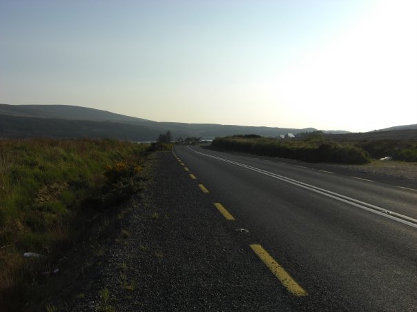 RoadRoad, road/trackway · 478 yd
 An Tobarhouse · 686 yd
 Bawn in CarrigarreelyBawn · 1.2 mi
 Greenan CastleCastle · 1.7 mi
 Wych ElmWych Elm · 2.0 mi
 Graveyard in AbingtonGraveyard · 3.3 mi
 Sliev Felim WayVisitor information · 4.6 mi
 Campus MapVisitor information · 4.7 mi
 Fountain SculptureHeritage attraction · 4.8 mi
 Skool HillMountain / peak · 5.2 mi