What is recorded here
Fairy fort in Highpark, County Limerick: a 21m earthen ring with scarped edge, external fosse, and counter-scarp bank, conjoined southeast to another enclosure. Flat, poorly-drained pasture holds its shape still. People may have kept livestock, hidden in storms, or marked boundary and belief. The earth remembers the choice even when the names have washed away.
Situated in flat, poorly-drained pasture. The monument is evident as a roughly circular area (21m N-S) defined by a scarped edge (Wth 1.7m; H 0.3m) with an external fosse (Wth 0.7m) and a counter-scarp earthen bank (int. H 0.2m; Wth 2m; ext. H 0.3m). It is conjoined on its SE side by another enclosure (LI014-145----).
Compiled by: Denis Power
Date of upload: 18 June 2013
The monument record does not grant public access. Check the route and ask the landowner before entering private land.
- What survives
- Recorded monument
Places near here
 Enclosure in CloghnadrominEnclosure · 628 yd
 BarrowBarrow, ditch barrow · 639 yd
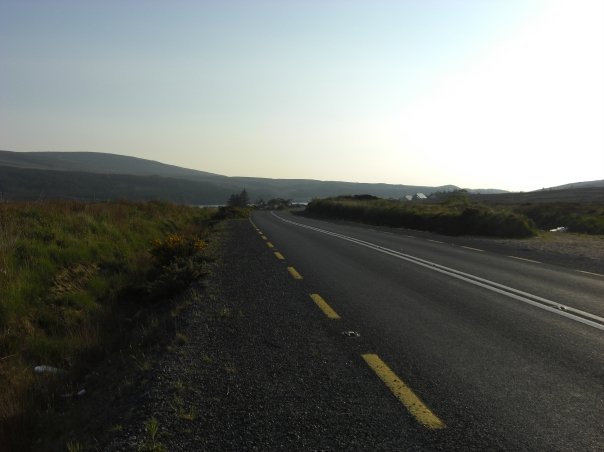 RoadRoad, road/trackway · 782 yd
 Highpark Housecountry house · 866 yd
 Bawn in CarrigarreelyBawn · 1.3 mi
 Greenan CastleCastle · 1.7 mi
 Wych ElmWych Elm · 2.0 mi
 Graveyard in AbingtonGraveyard · 3.5 mi
 Campus MapVisitor information · 4.5 mi
 Visitor CentreVisitor information · 4.6 mi
 Fountain SculptureHeritage attraction · 4.6 mi
 Skool HillMountain / peak · 5.1 mi