What is recorded here
Herbertstown held a two-banked fairy fort on a little hillock above the low land, visible in 1836 and still marked by a grassy circle and faint ditch in 1969. It was removed in 1953, perhaps swallowed by fields or forgotten in a century that took many such places for granted. The name suggests people once believed the fort belonged to fairies, yet its shape and size point to human hands, maybe a family stronghold or a boundary marker for a small community. What is certain is that the earth remembered the circle long after the banks disappeared, keeping a quiet record of the lives that shaped it.
Located on top of a little hillock in a low-lying landscape. It is depicted as a circular embanked enclosure (ext. diam. c. 50m) on the 1836 edition of the OS 6-inch map where it is described as a ‘Fort’, and it is represented as a bivallate enclosure on the 1908 edition. This monument was removed in 1953 but was described locally as having had two banks. It was visible in 1969 as a circular grass-covered area (int. diam. 37m N-S; 33.5m E-W) defined by traces of a fosse visible as a slight dip (at S: Wth 5.5m) and as a vegetation change (at W: Wth c. 7.5m) elsewhere (SMR file). It is excluded from forestry since before 1995 (OSAP).
The above description is derived from the published 'Archaeological Inventory of County Meath' (Dublin: Stationery Office, 1987). In certain instances the entries have been revised and updated in the light of recent research.
Compiled by: Michael Moore
Date of revision: 9 January 2019
The monument record does not grant public access. Check the route and ask the landowner before entering private land.
- What survives
- Recorded monument
Places near here
 Kells HillMountain / peak · 396 yd
 Enclosure in Rathbrack (fore By., Moylagh Par.)Enclosure · 1013 yd
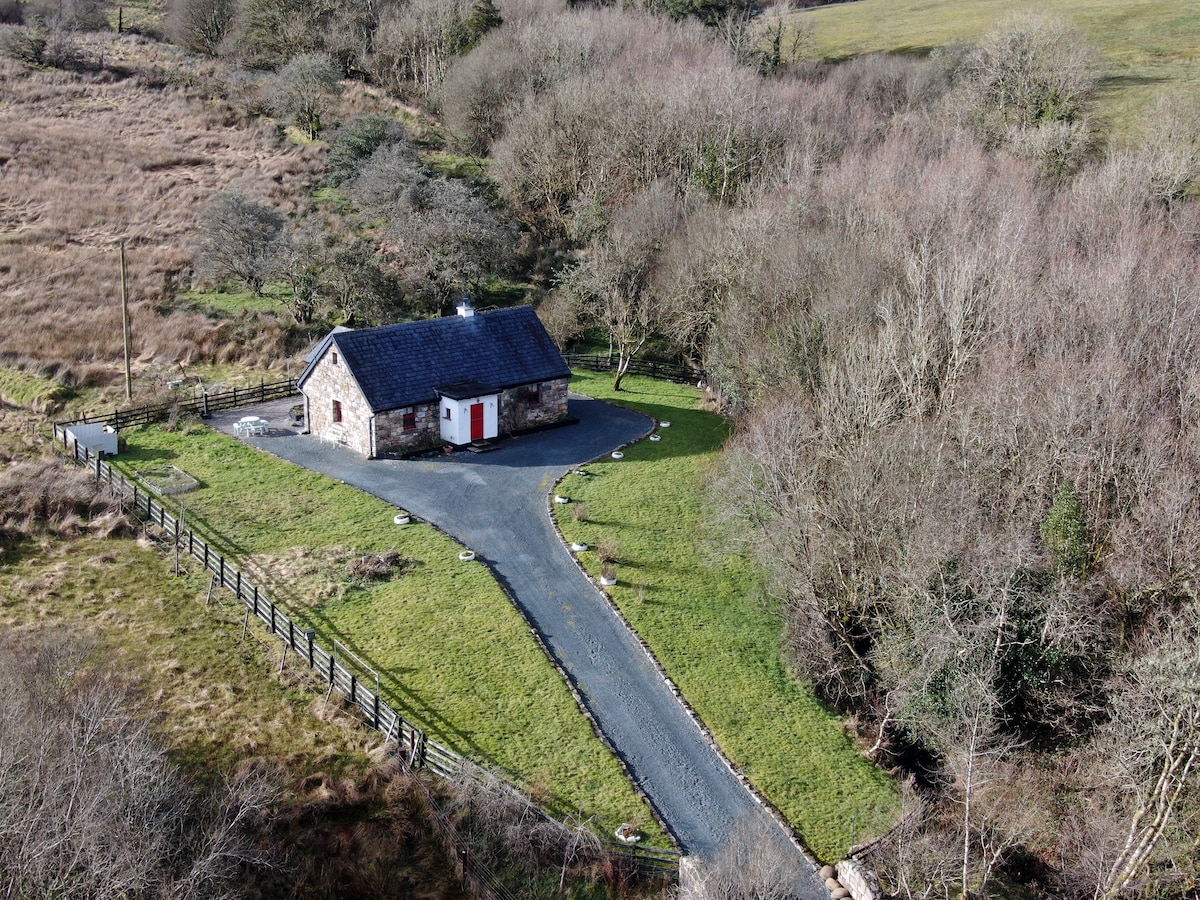 Enclosure in LurganboyEnclosure · 1147 yd
 Keeper's CottageRuins · 1312 yd
 The Keeper's FieldForest · 1412 yd
 Bradley's WoodWood · 1.0 mi
 The Sloe HillMountain / peak · 1.1 mi
 Church in DiamorChurch · 1.5 mi
 Green CastleCastle, unclassified · 2.1 mi
 Moat of DiamorCastle, motte and bailey · 2.4 mi
 Zip WireHeritage attraction · 3.3 mi
 LoughcrewMegalithic tomb cemetery · 3.7 mi