What is recorded here
Located in a fold on a SW-facing slope with the N-S Corock River c. 320m to the SW. The cropmark of a bivallate circular enclosure (int. diam. c. 25m; ext. diam. c. 40m) is visible on aerial photographs (OPWAP, 26979, 1 5). There is an entrance gap at S in the inner enclosure and the outer enclosure is slightly truncated by a NE-SW field bank at SE. The inner enclosure is also visible on the OSI series of aerial photographs (2000).
The above description is derived from the published 'Archaeological Inventory of County Wexford' (Dublin: Stationery Office, 1996). In certain instances the entries have been revised and updated in the light of recent research.
See the attached enhanced view from OSAP (2000)
Compiled by: Michael Moore
Date of upload/revision: 19 February, 2013
The monument record does not grant public access. Check the route and ask the landowner before entering private land.
- What survives
- Recorded monument
Places near here
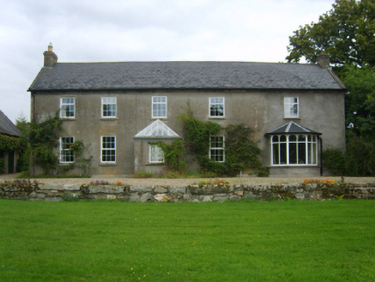 Dalton Cottagefarm house · 345 yd
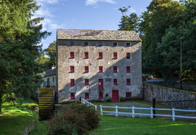 mill (water)mill (water) · 466 yd
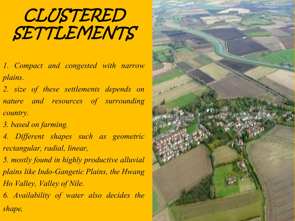 Settlement cluster in CoolcliffeSettlement cluster · 1498 yd
 Field system in RosspileField system · 1508 yd
 CastleCastle, tower house · 2.0 mi
 Bawn in Tracystown WestBawn · 2.0 mi
 Carrickbyrne HillMountain / peak · 4.4 mi
 Lockheed Hudson AM885 MemorialMemorial · 4.9 mi
 Carrig-On-BannowVisitor information · 5.1 mi
 Camaross HillMountain / peak · 5.1 mi
 1798 MemorialMemorial · 5.1 mi
 Cullenstown StrandBeach / strand · 6.7 mi