What is recorded here
Situated on a low rise, in undulating pasture, with extensive views to SE and S. Monument described in 1971 as a roughly circular-shaped area (dims. 33m E-W; 27m N-S) enclosed by a bank and a fosse. The bank (ext. H approx. 2m) is visible from SE-S-W-N-NE and is high on the exterior and is almost reduced to a scarp with several small disturbance gaps. The bank has the remains of external stone facing of very small stones from SW-S-SSE, however this may be a later feature. A slight fosse is visible from SE-S-W. Later field banks contact the scarp at S, W, N and ESE. The original entrance is not recognisable. The interior dips slightly to the perimeter on the N and S sides and has slight traces of cultivation ridges running N-S. Approximately 2.75m from the base of the scarp of ringfort, at E is a rectangular-shaped house defined by low grass-covered banks. The interior is divided into two chambers. This house site would appear to have been built after the fosse had filled up at this point.
Compiled by: Alison McQueen, Vera Rahilly and Caimin O’Brien.
Date of upload: 1 September 2019
The monument record does not grant public access. Check the route and ask the landowner before entering private land.
- What survives
- Recorded monument
Places near here
 IndicatedConcentric enclosure · 491 yd
 Keoltown Housecountry house · 1287 yd
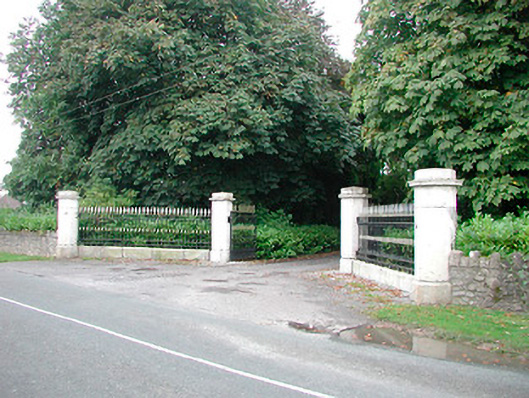 Barrettstown Housegates/railings/walls · 1392 yd
 Dysart Ho. (in ruins)Castle, unclassified · 1729 yd
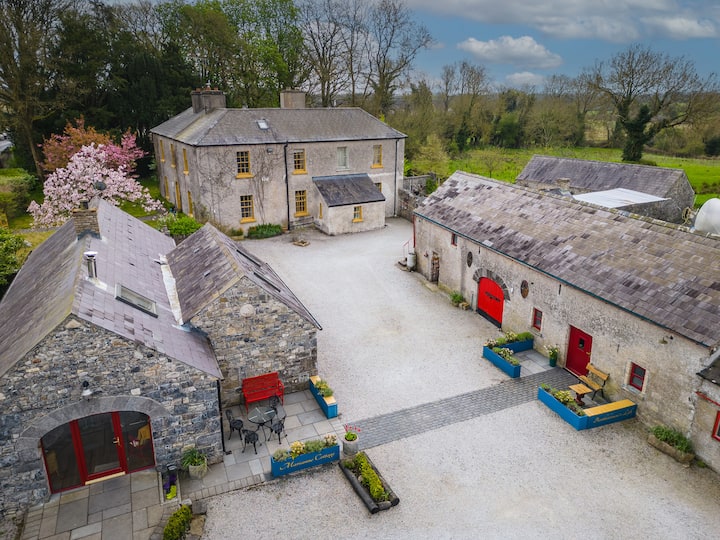 Enclosure in Tuitestown (moyashel & Magheradernon By.)Enclosure · 1757 yd
 Ladestown Ho.House, fortified house · 1.5 mi
 Ash IslandIslet · 1.7 mi
 Dysart IslandIsland · 2.0 mi
 Ancient Ring FortWood · 5.0 mi
 Ardan WoodWood · 9.4 mi
 Bonfire HillMountain / peak · 9.7 mi
 Kilmalady HillMountain / peak · 11 mi