What is recorded here
Anthony Murphy spotted the Hanlonstown ringfort only because satellite imagery revealed its faint circular lines across ordinary pasture. That much is clear. The green field may still cover a forgotten home, farm or fortress, but the earth keeps that secret intact beneath the grass.
Situated on a fairly level landscape. The vegetation mark of a circular enclosure (int. diam. c. 35-38m) in pasture is defined by a fosse feature, with an outer fosse traceable c. 5m distant E-S-SW (ext. diam. c. 60m). It is only visible on Google Earth (14/07/2018), and was first reported by Anthony Murphy.
See the attached view from Google Earth (14/07/2018)
Compiled by: Michael Moore
Date of upload: 10 July, 2019
The monument record does not grant public access. Check the route and ask the landowner before entering private land.
- What survives
- Recorded monument
Places near here
 Enclosure in BoyerstownEnclosure · 1.0 mi
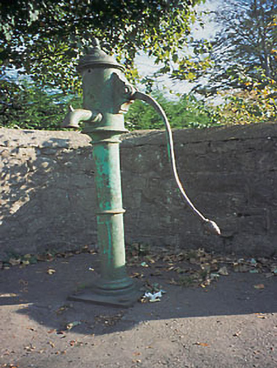 water pumpwater pump · 1.0 mi
 Field boundary in ArdbraccanField boundary · 1.3 mi
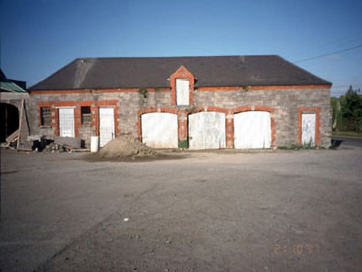 Beechmount Houseoutbuilding · 1.3 mi
 CastleCastle, motte · 2.0 mi
 The RampartWood · 2.0 mi
 Nangle CourtMemorial · 2.3 mi
 DurhamstownMountain / peak · 2.5 mi
 BohermeenMountain / peak · 2.6 mi
 Fox CovertWood · 2.7 mi
 The New Line RoadMemorial · 2.8 mi
 Assey CastleCastle, tower house · 3.1 mi