What is recorded here
Situated on a slight rise in a fairly level landscape. This is a raised circular grass-covered platform (diam. of top 36.7m ENE-WSW; 36m N-S; diam. of base 45m ENE-WSW; H 1.3m), with an outer fosse (at ENE: Wth of top 14m; Wth of base 5m; ext. D 0.2m) that is largely reduced to a berm (at WSW: Wth 7m). The original entrance is not identified. The perimeter at E has been cut back where a rectangular house (ext. dims 9m N-S; 3.7m plus E-W) defined by wall footings (Wth 1m) and an annexe (dims 8m N-S; 5m plus E-W) to its S were located. Both features are now truncated on the E side.
The above description is derived from the published 'Archaeological Inventory of County Meath' (Dublin: Stationery Office, 1987). In certain instances the entries have been revised and updated in the light of recent research.
Compiled by: Michael Moore
Date of revision: 17 April 2019
The monument record does not grant public access. Check the route and ask the landowner before entering private land.
- What survives
- Recorded monument
Places near here
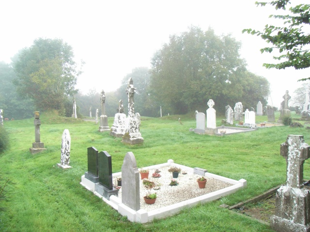 Church (in Ruins)Church · 749 yd
 EnclosureEnclosure, large enclosure · 1190 yd
 Enclosure in BoyerstownEnclosure · 1.3 mi
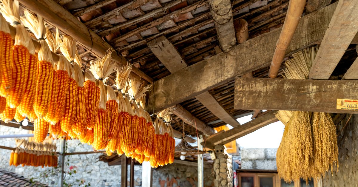 KilnKiln, corn-drying · 1.7 mi
 BohermeenMountain / peak · 1.9 mi
 The New Line RoadMemorial · 2.2 mi
 Wych ElmWych Elm · 2.6 mi
 Small-leaved ElmSmall-leaved Elm · 3.1 mi
 Faughan HillMountain / peak · 3.6 mi
 Assey CastleCastle, tower house · 3.6 mi
 Trubley CastleCastle, tower house · 3.7 mi
 Nangle CourtMemorial · 3.9 mi