What is recorded here
Thirty feet across, no more, the fort stood atop a Limerick hill until ploughs and time erased it. Mapmakers marked its ring in 1841, then half of it in 1923, but no stone or bank remains for a person to touch. What disappeared may have been a home, a boundary marker or a child's climbing hill; the land keeps the shape longer than the soil does.
In pasture, atop hill. Monument, depicted as embanked circular enclosure (diam. c. 20m) on 1841 OS 6-inch map, has been levelled. No trace of monument evident when inspected. Enclosing element shown only N->SE on 1923 OS 6-inch map.
Compiled by: Denis Power
Date of upload: 26 August 2011
The monument record does not grant public access. Check the route and ask the landowner before entering private land.
- What survives
- Recorded monument
Places near here
 Mound in KnockbweeheenMound · 652 yd
 Lisnagreeve - Hachured (1923Fairy fort / earthen ringfort · 882 yd
 Kilcolman Church (in ruins)Church · 980 yd
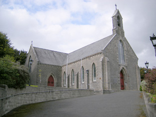 Saint Colman's Catholic Churchchurch/chapel · 1034 yd
 Castle (in ruins)Castle, tower house · 1.4 mi
 CahermoyleCastle, unclassified · 2.1 mi
 St. Luke's WellSpring · 2.2 mi
 St. Kieran's WellSpring · 3.7 mi
 Limerick GreenwayWalking route · 5.3 mi
 Monterey CypressMonterey Cypress · 6.0 mi
 Gammarel PointHeadland · 6.3 mi
 Prospect HillMountain / peak · 6.6 mi