What is recorded here
Fairy fort in Greenwood, County Mayo: a 37-metre earthen ring on a NE-facing pasture terrace, its scarp still highest at SE and NW while brambles widen in the NE half. Outside the rim a wet depression hints at a forgotten fosse; inside, a shallow cut crosses from fence to rim and faint cultivation ridges mark long-handed use. Quarry pits scar the ridge beyond, and the flat circle stands like a room the land refused to lose.
In rough pasture, located on a terrace on a NE-facing slope. At the base of the slope is a natural depression of wet ground.
Slightly raised circular area (37.4m NW–SE; 34.6m NE–SW) defined by a partly levelled scarp (H 0.6m at SE, NW; 0.3m at W), which is best preserved on the NE half. A slight depression (Wth c. 2m), wet in parts, immediately outside the scarp hints at a possible encircling fosse. A property fence, on a NW–SE axis, crosses the enclosure to SW of centre. A shallow linear depression (Wth 3.8m, 2m at base), deepest at its NE end extending from the field fence through the interior to the scarp at NE. Faint cultivation ridges traverse the enclosure interior a NE-SW axis.
Grass cover, with ferns and brambles spreading in the NE half. There are several old quarry pits dug into the downslope of the ridge to N–NE of the enclosure, the closest being 5m to NE.
Compiled by: Jane O’Shaughnessy
Date of upload: 25 May 2022
The monument record does not grant public access. Check the route and ask the landowner before entering private land.
- What survives
- Recorded monument
Places near here
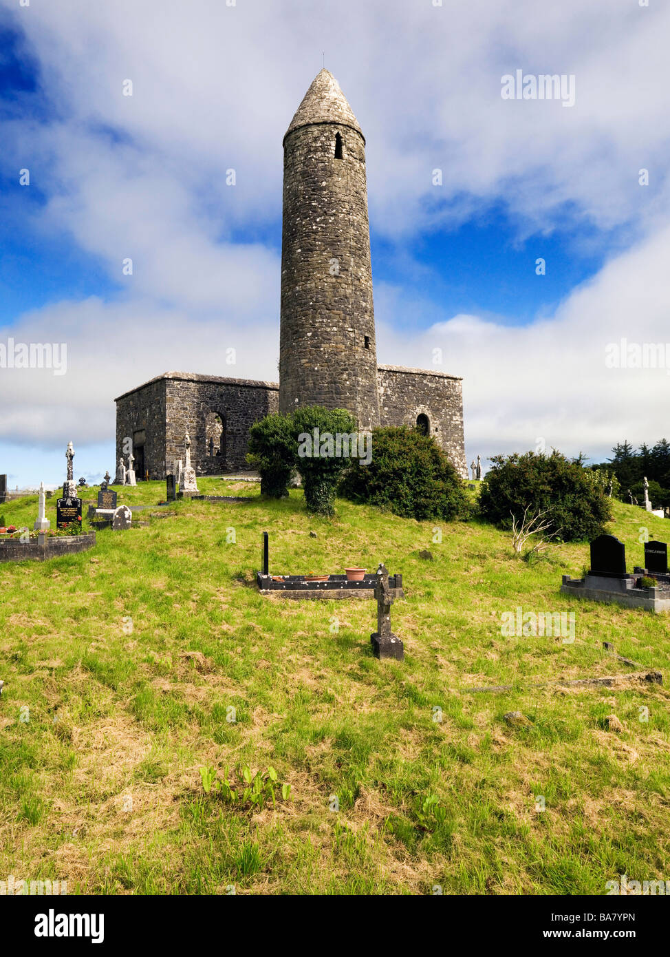 Enclosure in Turlough (costello By.)Enclosure · 179 yd
 Enclosure in GreenwoodEnclosure · 632 yd
 farm housefarm house · 1083 yd
 Catholic Church of Saint Margaret Mary Alacoquechurch/chapel · 1520 yd
 CastleCastle, unclassified · 1.8 mi
 Knock MuseumMuseum · 3.2 mi
 Knock ShrineHeritage attraction · 3.3 mi
 Ballybooley CastleCastle · 4.0 mi
 Oak WoodForest · 8.0 mi
 Geoffrey's WoodForest · 8.7 mi
 Mass RockNamed rock · 17 mi
 Site of Killomaine Grave YardArchaeological place · 18 mi