What is recorded here
Half-hidden in grass and fern on the western slope of Slieve Anierin, the Greaghnaguillaun ringfort keeps a shallow circular breath of old human life. Its thin bank and forgotten entrance suggest people shaped the hillfold for shelter, ceremony or ordinary days before the land smoothed the edges.
Situated in a slight fold on the W-facing foothills of Slieve Anierin. This is a grass and fern-covered circular platform (diam. 21m E-W; 20m N-S) defined by a slight scarp (max. H 0.5m), with traces of a bank (Wth 2m; int. H 0.5m; ext. H 1m) and outer drain at E. The original entrance is not identified.
The above description is derived from 'The Archaeological Inventory of County Leitrim' compiled by Michael J. Moore (Dublin: Stationery Office, 2003). In certain instances the entries have been revised and updated in the light of recent research.
Date of upload: 23 September 2008
The monument record does not grant public access. Check the route and ask the landowner before entering private land.
- What survives
- Recorded monument
Places near here
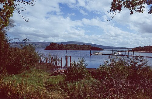 Lough AllenLarge freshwater lake · 1660 yd
 GubcormonganHeadland · 1701 yd
 Sweat HouseSweathouse · 1.0 mi
 Long IslandIslet · 1.2 mi
 Round IslandIslet · 1.4 mi
 Rocking StoneNamed rock · 1.4 mi
 Sliabh an IarainnMountain / peak · 2.0 mi
 Tober BuryHoly well · 2.1 mi
 Temple na galliagh dooChurch · 2.1 mi
 Penal Mass station in TawnycorraghPenal Mass station · 2.5 mi
 BencroyMountain / peak · 3.8 mi
 The UltachsMemorial · 4.3 mi