What is recorded here
No human hands shaped Greaghlatacapple, though the measure is human: thirty metres across, a bank four to six metres wide, a shallow ditch, and two gaps where entry was intended. The fairies built it on the drumlin summit and left it empty, a room with no furniture and no owner, waiting for someone foolish enough to move in. The field bank outside marks the boundary of their patience, not the limit of their reach.
Situated on the SW summit of a broad E-W drumlin ridge. This is a circular grass and scrub-covered area (diam. 29.6m NNW-SSE) defined by an overgrown earthen bank (Wth 4-6m; int. H 0.2-0.4m; ext. H 1.5m), and an outer fosse (Wth of base 1.6-2.6m; ext. D 0.2m) WNW-E-S that has an outer field bank (at NW: Wth 1.4m; int. H 1m; ext. H 0.6m) outside it SW-N-NE. There is an entrance (Wth of base 1.4m) and causeway (Wth of top 1.9m) at N leading to a gap in the field bank, but there is also an entrance (Wth of base 1.5m) at S where the fosse is not evident.
The above description is derived from the published 'Archaeological Inventory of County Monaghan' (Dublin: Stationery Office, 1986). In certain instances the entries have been revised and updated in the light of recent research.
Revised by: Michael Moore
Date of revision: 1 February 2018
The monument record does not grant public access. Check the route and ask the landowner before entering private land.
- What survives
- Recorded monument
Places near here
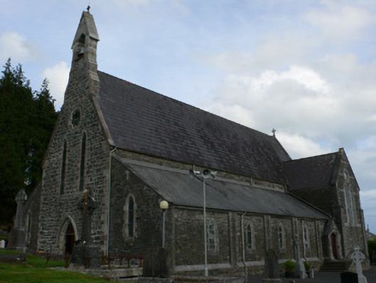 Saint Michael's Catholic Churchchurch/chapel · 1354 yd
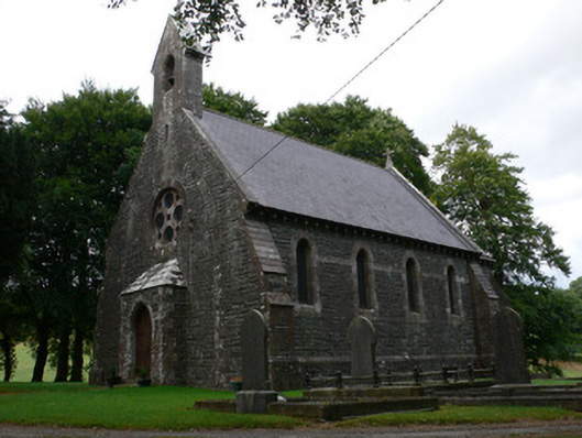 Saint Patrick's Church (Magheross)church/chapel · 1449 yd
 Enclosure in CorrinentyEnclosure · 1.2 mi
 Man-made underground passage in OuvryMan-made underground passage · 1.4 mi
 RaferaghMountain / peak · 1.8 mi
 Tally WoodWood · 2.4 mi
 Sillan LakeshoreWood · 2.7 mi
 Bawn in LisdrumskeaBawn · 2.7 mi
 Bush IslandIslet · 2.9 mi
 CarrickcreenyMountain / peak · 3.0 mi
 Gull IslandIslet · 3.0 mi
 TobernagalliaghSpring · 4.6 mi