What is recorded here
Half a kilometre from the main road, a shallow ring of earth still marks the boundary of Greaghfarnagh. Grass and scrub have softened the bank, gaps have opened in the perimeter, and the true entrance has disappeared, yet the circle remains large enough to hold a household, a herd, or a forgotten argument about who owned the slope. The fairies may have taken the names, but they left the shape behind.
Located on the W-facing slope of a Drumlin. This is an a grass and scrub-covered circular area (int. diam. 26.4m N-S; 24.2m E-W) defined by an overgrown earthen bank (at NE: Wth 3.1m; int. H 0.25m; ext. H 1m) which is reduced to a scarp (H 1.9m) at NW. This is separated by a fosse (at NE: Wth of top 2.85m; D 0.45m) from an outer bank (at NE: Wth 1m; H 0.2m) which has a stone field wall on top of it and is probably a field bank. There area many gaps in the perimeter and the original entrance is not identified.
The above description is derived from 'The Archaeological Inventory of County Leitrim' compiled by Michael J. Moore (Dublin: Stationery Office, 2003). In certain instances the entries have been revised and updated in the light of recent research.
Date of upload: 23 September 2008
The monument record does not grant public access. Check the route and ask the landowner before entering private land.
- What survives
- Recorded monument
Places near here
 Sweat House (in Ruins)Sweathouse · 377 yd
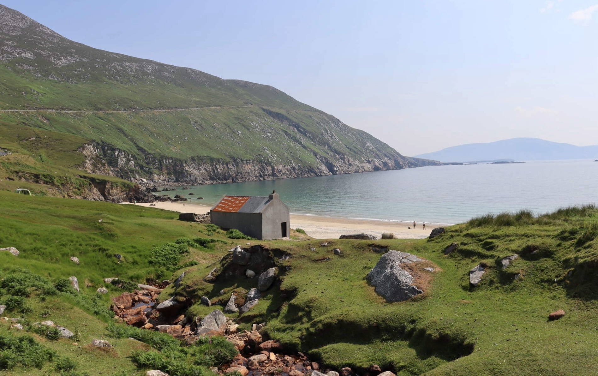 IndicatedFairy fort / earthen ringfort · 1433 yd
 Spiranthes IslandsIslet · 1550 yd
 Holy islandIslet · 1641 yd
 Murhaun R. C. ChapelChurch · 1.1 mi
 Saint Patrick's Catholic Churchchurch/chapel · 1.4 mi
 Rocking StoneNamed rock · 1.9 mi
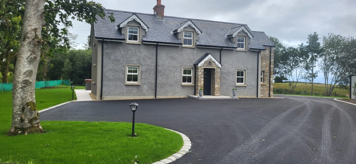 GubcormonganHeadland · 2.1 mi
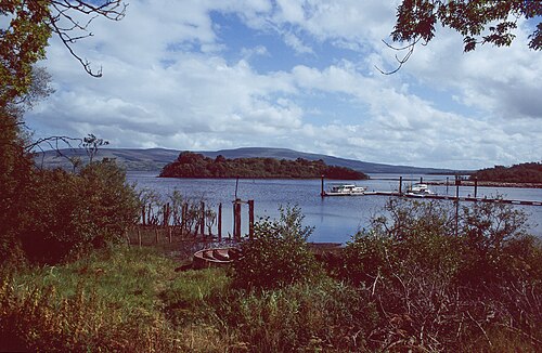 Lough AllenLarge freshwater lake · 2.6 mi
 Sliabh an IarainnMountain / peak · 2.9 mi
 Arigna Mining ExperienceMuseum · 3.7 mi
 Derreenargan WoodWood · 3.8 mi