
What is recorded here
Situated in a low-lying position in an undulating landscape and on the N bank of a small NE-SW stream. This is the site of what was probably the first post-Penal Roman Catholic church of Drumshanbo, although it is about 700m outside the village and close to the S end of what was the main road to Dowra and is now the green road known as the Leitrim Way. The church is depicted as T-shaped (L c. 30m NE-SW) with a wing extending NW (L c. 10m) from its centre on the 1835 edition of the OS 6-inch map. No physical evidence of it survives in an L-shaped graveyard (dims c. 80m NE-SW; c. 40m NW-SE) defined by masonry walls, which is no longer used for burial. Two holy-water stoups from the church are incorporated into the graveyard wall by the roadside at the NE end.
The above description is derived from 'The Archaeological Inventory of County Leitrim' compiled by Michael J. Moore (Dublin: Stationery Office, 2003). In certain instances the entries have been revised and updated in the light of recent research.
Date of upload: 23 September 2008
The monument record does not grant public access. Check the route and ask the landowner before entering private land.
- What survives
- Recorded monument
Places near here
 Saint Patrick's Catholic Churchchurch/chapel · 643 yd
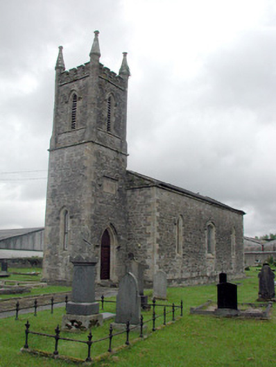 Saint John's Church (Kiltoghert)church/chapel · 811 yd
 Sweat House (in Ruins)Sweathouse · 1555 yd
 Spiranthes IslandsIslet · 1639 yd
 Holy islandIslet · 1.1 mi
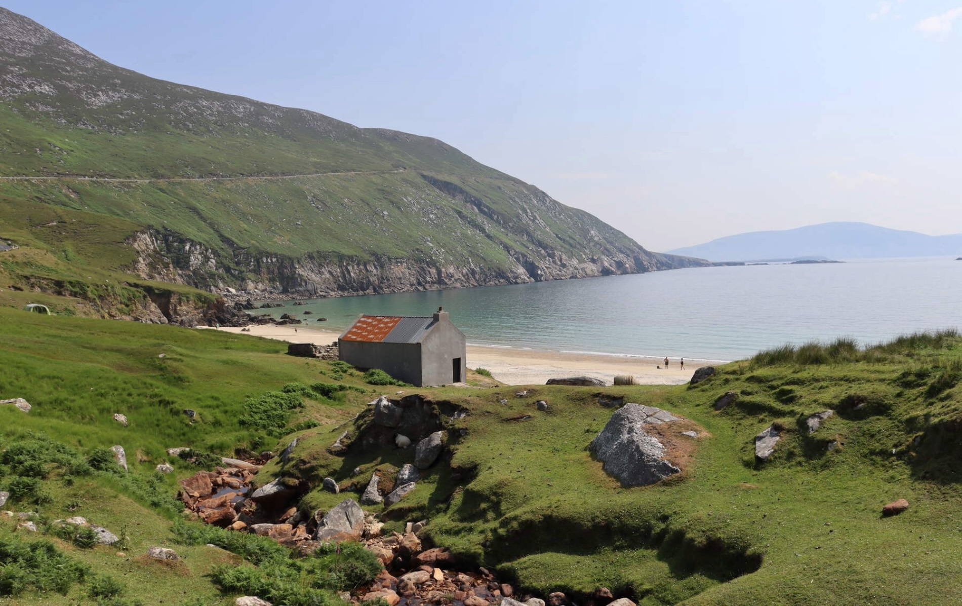 IndicatedFairy fort / earthen ringfort · 1.4 mi
 Rocking StoneNamed rock · 2.8 mi
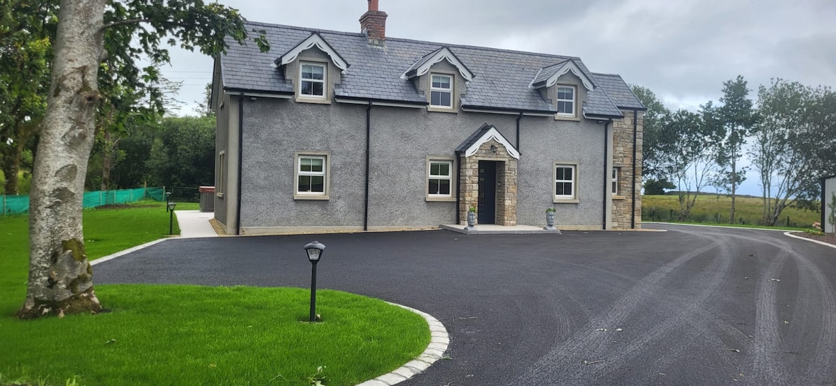 GubcormonganHeadland · 3.2 mi
 Derreenargan WoodWood · 3.2 mi
 Sliabh an IarainnMountain / peak · 3.7 mi
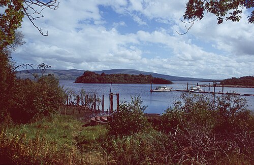 Lough AllenLarge freshwater lake · 3.7 mi
 Arigna Mining ExperienceMuseum · 3.9 mi
Other information
Photo: Credit not shown in the picture search · Rights wording not checked; contact us if this picture should be removed