What is recorded here
Fairy fort in Gransha Beg is a circular grass area fifty metres across at the SW end of a short drumlin ridge in County Monaghan. A scarp one to two metres high still marks its edge, though no entrance or ditch remains visible. It appeared on McCrea’s map in 1793 and stayed on later Ordnance Survey maps. The hedge that once bordered it is gone, but the ring itself probably stands intact.
Located at the SW end of a short NE-SW drumlin ridge. This rath is depicted on McCrea’s map of County Monaghan (1793), and on all editions of the OS 6-inch map. It was described in 1968 as a circular grass-covered area (diam. 50m N-S; 48.5m E-W) sloping down slightly to the SE, which was defined by a scarp (H 1.2-1.8m) and hedge. There was no visible fosse and the original entrance was not identified. The hedge had been removed by 1995 (OSAP), but the monument is probably intact.
The above description is derived from the published 'Archaeological Inventory of County Monaghan' (Dublin: Stationery Office, 1986). In certain instances the entries have been revised and updated in the light of recent research.
Revised by: Michael Moore
Date of revision: 29 January 2018
Circular area (50m N-S; 48.5m E-W) surrounded by artificial scarp. No visible surface trace of fosse or entrance.
The monument record does not grant public access. Check the route and ask the landowner before entering private land.
- What survives
- Recorded monument
Places near here
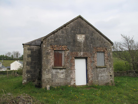 Gransha National Schoolschool · 449 yd
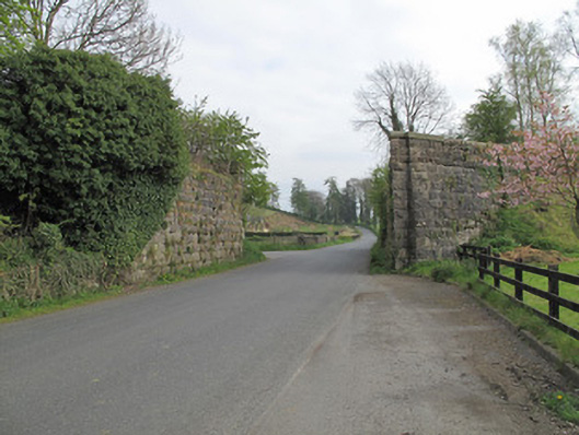 bridgebridge · 458 yd
 IndicatedFairy fort / earthen ringfort · 695 yd
 The IslandCrannog · 1197 yd
 Jaundice WellSpring · 1752 yd
 KillycoonaghWood · 1.2 mi
 Saint John's WellSpring · 1.3 mi
 Common LimeCommon Lime · 1.4 mi
 Roosky Castle (Site of)Castle, ringwork · 2.0 mi
 Lisarrilly HillMountain / peak · 2.5 mi
 Abbey RuinsHeritage attraction · 2.7 mi
 The Cassandra Hand CentreMuseum · 2.8 mi