What is recorded here
Fairy forts in County Kildare were once called raths, and this one still keeps its shape in wet pasture. A circular bank twenty-eight metres across rises slightly above the grass, with a faint outer ditch and a stock watering hole cut into the southwest. Cattle may have drunk there for centuries, pressing the old line flatter while people forgot what the circle was for. The land remembers the shape even when the story leaves it.
In low-lying wet pasture. A slightly raised circular area (diam. 28m) is defined by a denuded earthen bank, with faint traces of an outer fosse. A stock watering hole has been dug out in the SW sector of the interior, and the fosse has also been partially dug out at SW. Visible on an OSi Orthophoto (2005).
Compiled by: Gearóid Conroy
Date of upload: 25 November 2013
The monument record does not grant public access. Check the route and ask the landowner before entering private land.
- What survives
- Recorded monument
Places near here
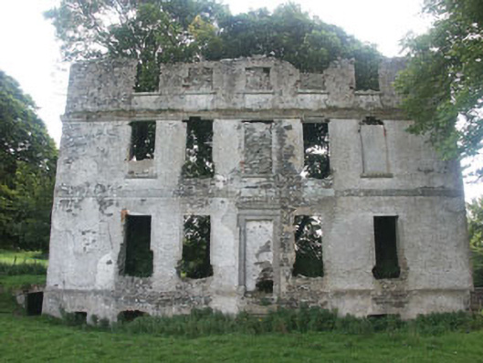 Tober Housecountry house · 1676 yd
 Church (Site of), Burial Gd.Church · 1752 yd
 IndicatedEnclosure · 1.0 mi
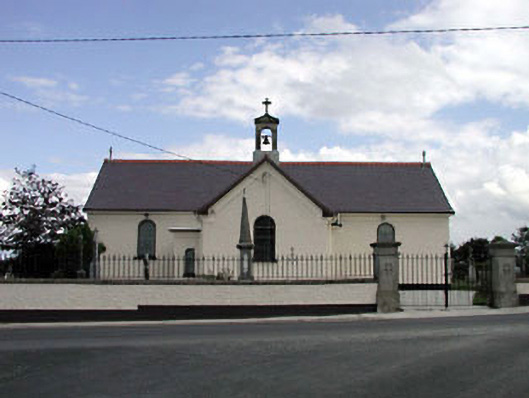 Saint Joseph's Catholic Churchchurch/chapel · 1.0 mi
 Castlefish (in Ruins)Castle, unclassified · 2.0 mi
 Memorial to 1798 rebellionMonument · 2.0 mi
 Castle in ruinsCastle, unclassified · 2.4 mi
 Burial ground in CrehelpBurial ground · 2.8 mi
 Glen WoodWood · 3.0 mi
 Coillte ForestForest · 3.1 mi
 1798 memorial stoneMonument · 3.8 mi
 Saint Kevin's CaveMemorial · 4.0 mi