What is recorded here
Situated on a gentle NNE facing slope surrounded by gently undulating grassland with good views from NNW-N-ESE. Ringfort (WM011-090----) 140m to SW. Three houses are depicted along the perimeter of the site from N-E on the 1837 ed. OS 6-inch map. A small circular-shaped area (approx. diam. 18m E-W) enclosed by a very poorly preserved earthen bank and slight external fosse. There is a causeway (Wth 3m; H 0.1m) across the fosse at SE, but no corresponding gap in the bank. A field fence running NW-SE intersects the perimeter of the monument from SW-S, and the remains of a second field fence running NNE-SSW intersects the site at SE.
Compiled by: Frank Coyne and Caimin O'Brien
Date of upload: 24 August 2017
The monument record does not grant public access. Check the route and ask the landowner before entering private land.
- What survives
- Recorded monument
Places near here
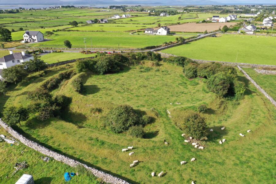 Fairy fort / ringfort in Grange (moygoish By.)Fairy fort / ringfort · 320 yd
 IndicatedFairy fort / ringfort · 813 yd
 Abbey, Tristernagh Ho.Religious house, Augustinian canons · 1320 yd
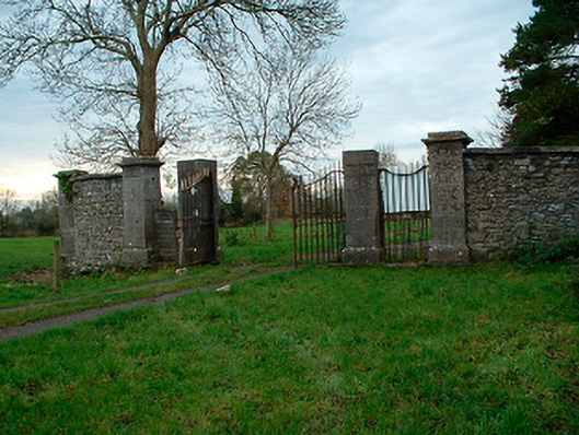 Tristernagh Housedemesne walls/gates/railings · 1367 yd
 Castle Quarter, Castle (in ruins)Castle, unclassified · 1.4 mi
 Baronstown ForestWood · 1.7 mi
 Horse-chestnutHorse-chestnut · 1.9 mi
 CastleCastle, motte and bailey · 2.0 mi
 Goldsmith Birthplace, PallasVisitor information · 9.5 mi
 Craft WorkshopHeritage attraction · 9.6 mi
 Guest ServicesVisitor information · 9.7 mi
 Rock of CurryCliff · 12 mi