What is recorded here
Fairy fort in Grange Glebe: a 22-metre grass ring on a slight rise beside a canalised stream in County Meath. Its scarp and shallow fosse still mark a small defended or ceremonial place, though no map now records it. People may have lived, hid or performed rituals there before the land was changed; the name preserves that forgotten life.
Located on a slight rise in a fairly level landscape and on the S bank of a canalised WNW-ESE stream. This feature is not depicted on any map. It is a low circular grass-covered platform (diam. 22m NNE-SSW: 21.5m WNW-ESE) defined by a scarp (at WSW: Wth 3.4m; H 1.1m), with a fosse (Wth of top 3.3m; Wth of base 1.8m; ext. D 0.25m) SE-SW.
The above description is derived from the published 'Archaeological Inventory of County Meath' (Dublin: Stationery Office, 1987). In certain instances the entries have been revised and updated in the light of recent research.
Compiled by: Michael Moore
Date of revision: 12 April 2019
The monument record does not grant public access. Check the route and ask the landowner before entering private land.
- What survives
- Recorded monument
Places near here
 BalreaskMountain / peak · 425 yd
 Limekiln WoodWood · 1322 yd
 Cremie WoodWood · 1329 yd
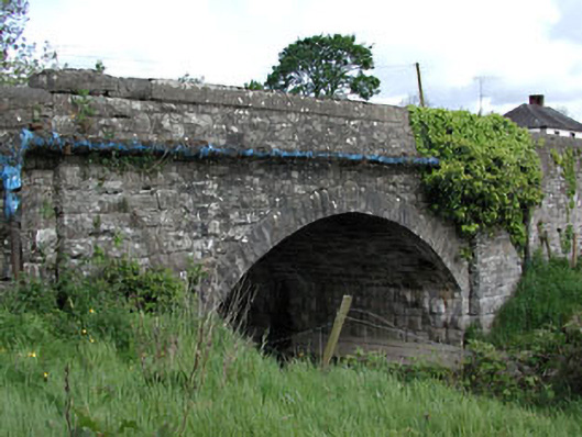 bridgebridge · 1594 yd
 John Mac MahonMemorial · 1597 yd
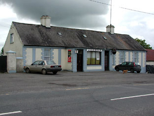 J. Kiernanhouse · 1664 yd
 Church (Site of)Church · 1.0 mi
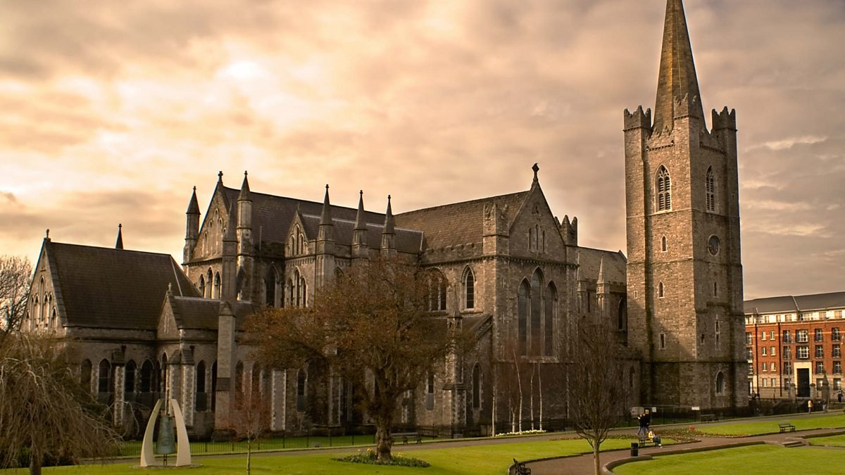 St. Patricks WellHoly well · 1.1 mi
 DeerparkMountain / peak · 1.3 mi
 Gravelstown CastleCastle, unclassified · 1.5 mi
 Castle ruinsCastle · 1.7 mi
 Kells Anglers Association MemorialMemorial · 1.7 mi