What is recorded here
Grange holds a lost ringfort where the River Nore still flows beside the pasture. Men levelled its banks in the 1950s, believing they were making the land useful, but the crops later marked the hidden circle because water and life remember what tools forget.
On a gentle E-facing slope in pasture, with the River Nore flowing N-S c. 40m to the E. A circular area (int. diam. c. 43m) enclosed by a bank, fosse, outer bank and probable outer fosse. It was levelled in the 1950s and is visible as a cropmark on aerial photographs (CUCAP BDI 21, 1970; BGG 78, 1971; BOD 15, 1973; ASIAP (109) 28-33, 22 July 2000). It is described by Carrigan (1905, vol. 2, 322) as 'a very fine rath. It consists of a circular enclosure defended by a fosse 36ft. [c. 11m] wide at top and 17ft. [c. 5m] deep, and by an external rampart of earth 9ft. [c. 2.7m] high and 159ft. [c. 48.5m] in diameter'. It is not visible at ground level.
Compiled by: Jean Farrelly
Date of upload: 31 January 2018
The monument record does not grant public access. Check the route and ask the landowner before entering private land.
- What survives
- Recorded monument
Places near here
 Grange Ringfort (rath)Archaeological place · 4 yd
 Enclosure in Grange (fassadinin By.)Enclosure · 403 yd
 Grangemaccomb Church (in ruins)Church · 495 yd
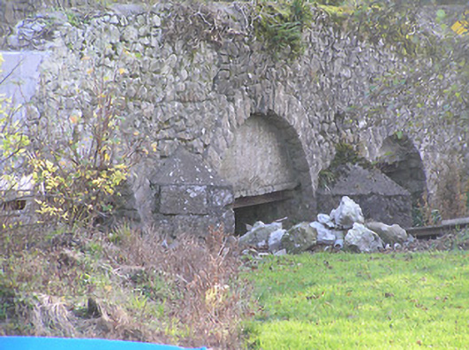 Grange Bridgebridge · 772 yd
 Ballyragget Cas.Castle, tower house · 1.1 mi
 Donaghmore WellSpring · 1.6 mi
 Anker's IslandIsland · 2.7 mi
 Emma Jane Browne-ClaytonMemorial · 3.4 mi
 Red horse-chestnutRed horse-chestnut · 3.5 mi
 Freshford LoopWalking route · 4.0 mi
 The PondsForest · 4.1 mi