What is recorded here
Fairy fort in Grange Beg is a 63-metre earthen ring on a southeast-facing Cork slope, with a 3.35-metre bank, outer ditch and low interior ridge. It is the kind of place where people may have kept animals, hidden tools or simply marked the edge of the field. The fairy name suggests that later people stopped asking who lived there and began leaving the circle alone.
In pasture, on SE-facing slope. Roughly circular, slightly raised area (58m N-S; 63.4m E-W) defined by earthen bank (H 3.35m) NW->NNE; scarp (H 2.4m) NNE->NW. External fosse (D 2.8m) NW->NNE; shallow to S (D 0.35m). Scarp top slopes gently down towards centre. Low ridge crosses interior on E-W axis.
The above description is derived from the published 'Archaeological Inventory of County Cork. Volume 1: West Cork' (Dublin: Stationery Office, 1992). In certain instances the entries have been revised and updated in the light of recent research.
Date of upload/revision: 14 January 2009
The monument record does not grant public access. Check the route and ask the landowner before entering private land.
- What survives
- Recorded monument
Places near here
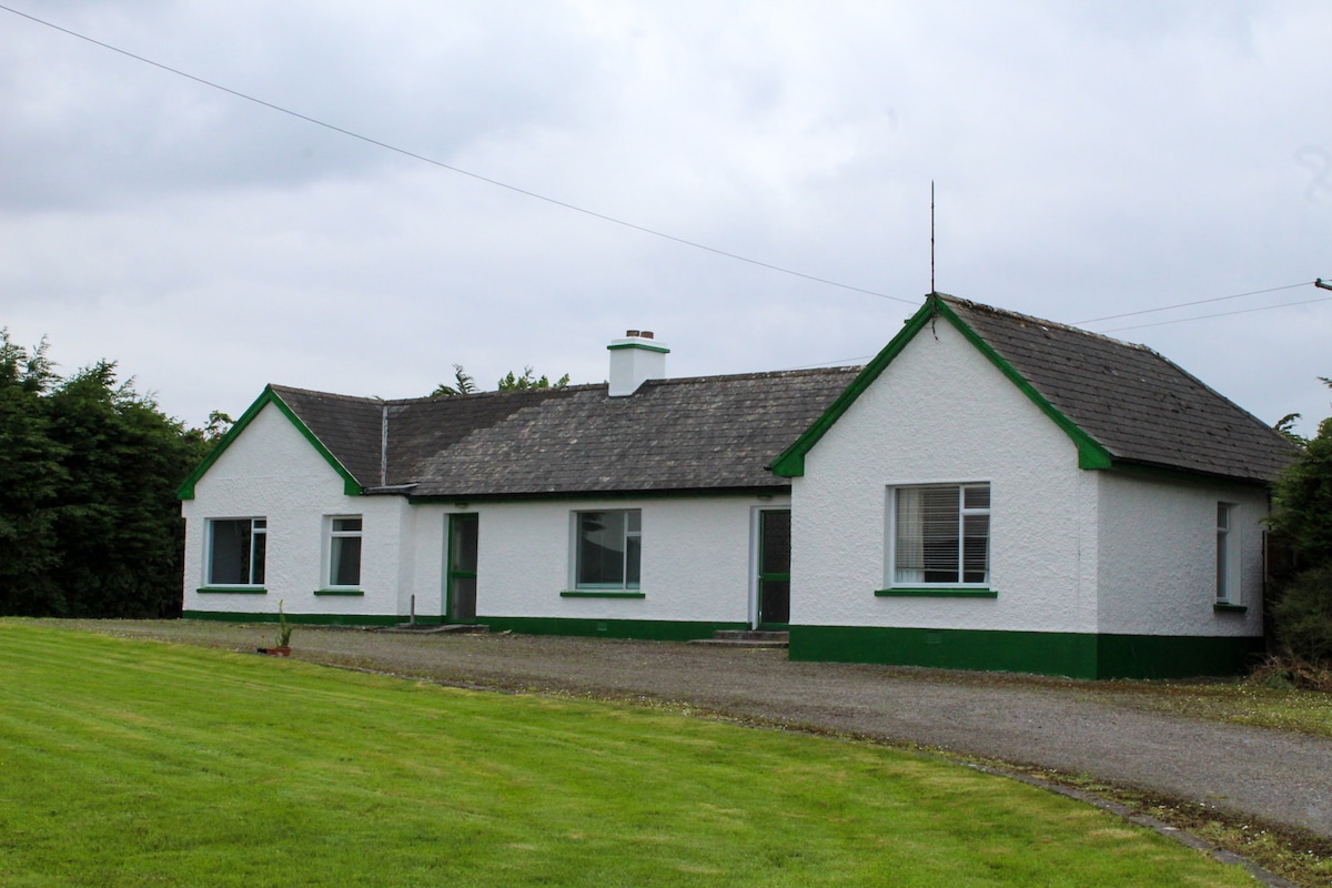 IndicatedQuarry · 554 yd
 Church in DonaghmoreChurch · 1300 yd
 LismahonFairy fort / earthen ringfort · 1390 yd
 Castle (in Ruins)Castle, unclassified · 1456 yd
 CaveMan-made underground passage · 1.1 mi
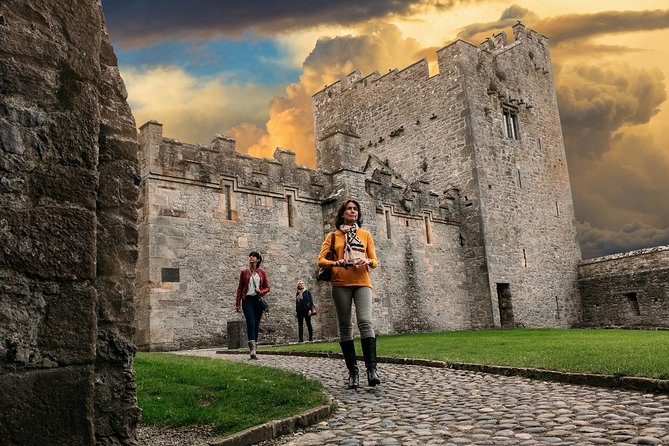 Rock Castle (in Ruins)Castle, tower house · 1.3 mi
 Views Simon's CoveViewpoint · 1.7 mi
 Flat Rocks Simon's CoveViewpoint · 1.9 mi
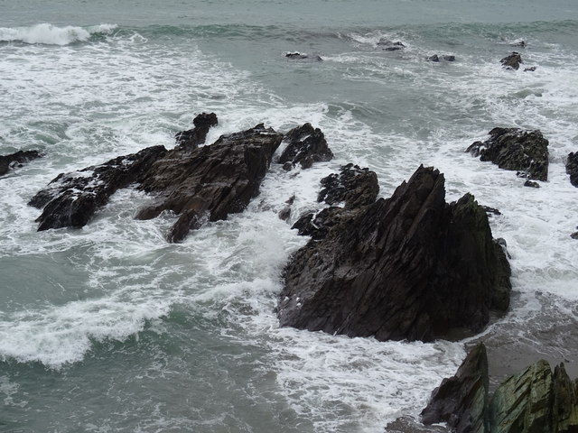 Dunworly BeachBeach / strand · 2.1 mi
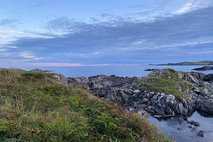 Interesting Cliffs RingCliff · 2.2 mi
 Stoney Beach RingBeach / strand · 2.7 mi
 Michael Collins CentreMuseum · 3.1 mi