What is recorded here
Located on a slight E-facing slope. The cropmark of a circular enclosure (diam. c. 40m) defined by a single narrow feature is visible on aerial photograph (CUCAP, BDI 86). It is not visible at ground level in pasture.
The above description is derived from the published 'Archaeological Inventory of County Wexford' (Dublin: Stationery Office, 1996). In certain instances the entries have been revised and updated in the light of recent research.
Compiled by: Michael Moore
Date of upload/revision: 23 July 2013
The monument record does not grant public access. Check the route and ask the landowner before entering private land.
- What survives
- Recorded monument
Places near here
 Enclosure in Grange (bargy By., Bannow Ed)Enclosure · 531 yd
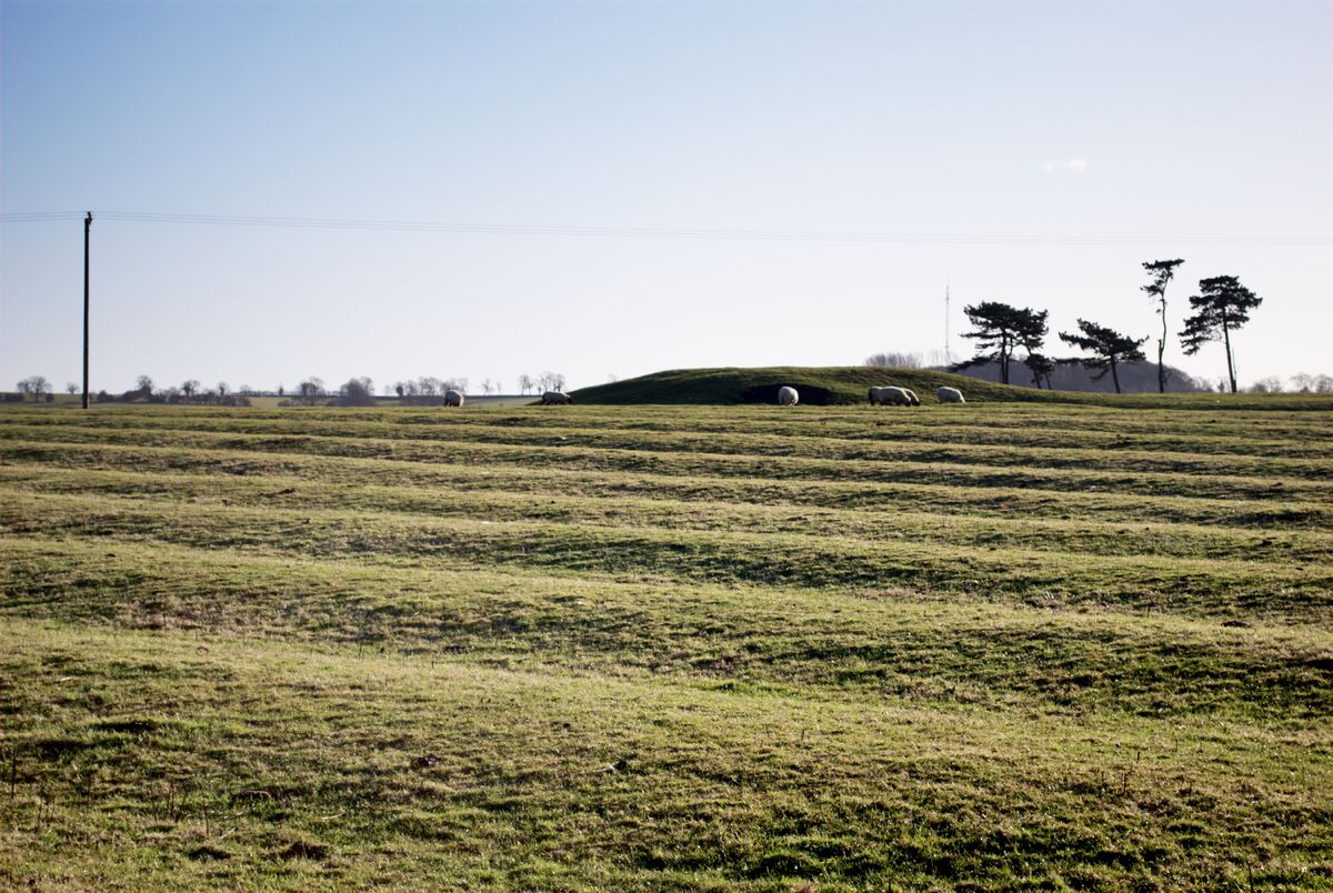 Field system in Graigue (bargy By., Bannow Ed)Field system · 906 yd
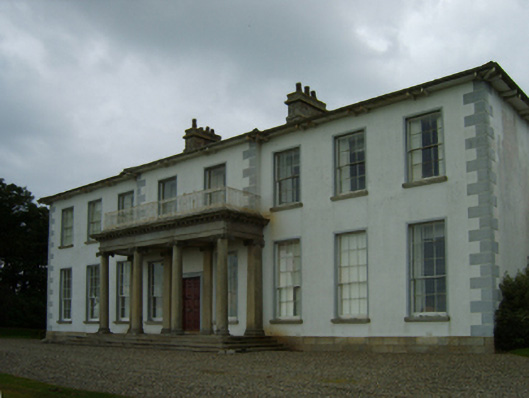 Bannow Housecountry house · 954 yd
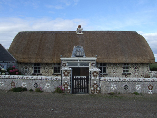 Cliff Cottagefarm house · 1299 yd
 Ballymadder PointHeadland · 1362 yd
 IndicatedCastle, tower house · 1384 yd
 Cullenstown StrandBeach / strand · 1456 yd
 Blackhall StrandBeach / strand · 1502 yd
 1798 MemorialMemorial · 1.0 mi
 Carrig-On-BannowVisitor information · 1.1 mi
 Bridges ChamberCave · 1.1 mi
 Castle (in ruins)Castle, unclassified · 1.4 mi