What is recorded here
Located in a slight col with slightly higher ground to the SW and NE. The cropmark of an enclosure (diam. c. 35m) defined by a single fosse feature is visible on an aerial photograph (MM (33) 23-25).
Compiled by: Michael Moore
Date of upload: 7 June, 2012
Amended: 30 April, 2014
The monument record does not grant public access. Check the route and ask the landowner before entering private land.
- What survives
- Recorded monument
Places near here
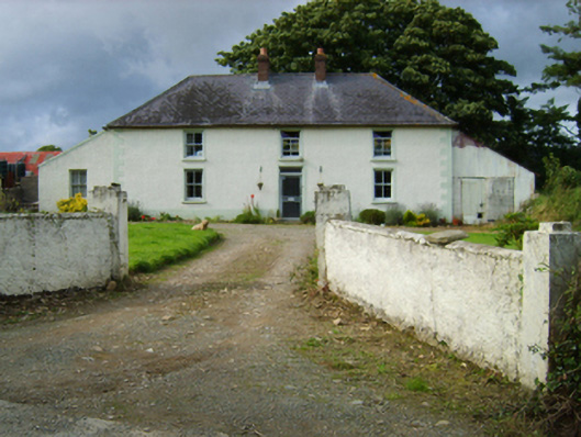 Garryduff Villafarm house · 458 yd
 Enclosure in Grange (ballaghkeen By., Kilcormick Ed)Enclosure · 914 yd
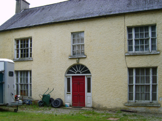 Garryduff Housefarm house · 941 yd
 Not idicatedFairy fort / earthen ringfort · 1.3 mi
 IndicatedCastle, ringwork · 1.4 mi
 Father Murphy CentreHeritage attraction · 1.8 mi
 HacketstownMemorial · 2.8 mi
 KilcumneyMemorial · 2.8 mi
 Battle of Oulart Hill signVisitor information · 2.8 mi
 Battle of Vinegar Hill, 1798Monument · 4.9 mi
 Vinegar HillMountain / peak · 4.9 mi
 Battle of Vinegar HillMajor battlefield · 5.6 mi