What is recorded here
Castle Kevin in Grandy, County Cork, kept a thirty-two-metre earthen ring within its demesne, visible from above in 1975 but gone by 1979. The fort wore many shapes across the years, appearing pentagonal and tree-planted in 1842 before becoming a simple circular boundary in later surveys. Its sudden disappearance suggests human hands rather than fairy mischief, yet the refusal of entry and local silence give the loss an edge of deliberate forgetting.
Depicted as roughly pentagonal enclosure planted with trees in demesne of Castle Kevin on 1842 OS 6-inch map; as hachured circular area (diam. c. 32m) defined by fosse with outer bank incorporated into field boundary system on 1905 and 1937 OS 6-inch maps. Permission to visit site refused; according to local information levelled c. 1979. Upstanding univallate circular enclosure visible in aerial photograph (GSIAP, R524) dated 03-07-1975.
The above description is derived from the published 'Archaeological Inventory of County Cork. Volume 4: North Cork' (Dublin: Stationery Office, 2000). In certain instances the entries have been revised and updated in the light of recent research.
Date of upload/revision: 14 January 2009
The monument record does not grant public access. Check the route and ask the landowner before entering private land.
- What survives
- Recorded monument
Places near here
 Doneraile Parkdemesne walls/gates/railings · 845 yd
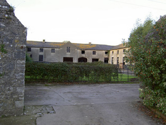 Castle Kevinfarmyard complex · 897 yd
 Enclosure in KilluraghEnclosure · 1310 yd
 Field system in KilluraghField system · 1410 yd
 Carrig Castle (in Ruins)Castle, tower house · 1.4 mi
 Killavullen CavesCave · 2.5 mi
 Cave in BallymacmoyCave · 2.5 mi
 Mallow Castle RuinRuins · 4.2 mi
 Anne's Grove GardensHeritage attraction · 4.4 mi
 In loving memory of Elvis O'DonoghueMemorial · 4.8 mi
 Mallow River TrailVisitor information · 4.9 mi
 Blackwater WayWalking route · 5.4 mi