What is recorded here
Located towards the top of a NW-facing slope. An enclosure is marked on the Grand Jury Map of Co. Waterford dated 1819 (NLI: 16 J4), at the location where the Man-made underground passage (WA038-003----) was later discovered. It is not marked on any edition of the OS 6-inch map, and no visible trace of it survives.
Date of upload: 6th January, 2012.
Compiled by: Michael Moore
This remains an important historical record, but the official description says the monument is no longer visible or has been destroyed. The monument record does not grant public access. Check the route and ask the landowner before entering private land.
- What survives
- No visible remains or recorded as destroyed
Places near here
 Man-made underground passage in Grallagh LowerMan-made underground passage · 1 yd
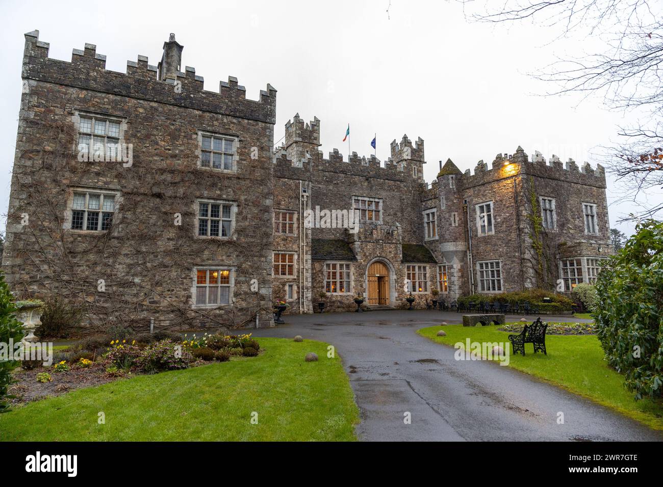 Embanked enclosureFairy fort / earthen ringfort · 212 yd
 RoadRoad, road/trackway · 722 yd
 Catholic Church of Our Lady of the Assumptionchurch/chapel · 1.1 mi
 Kilmaloo LoughWood · 2.7 mi
 Clashmore Heritage CentreHeritage attraction · 2.7 mi
 Castle (in ruins)Castle, tower house · 2.8 mi
 D'Loughtane WoodForest · 4.3 mi
 Cabin PointHeadland · 4.3 mi
 St Bridget's WellSpring · 4.5 mi
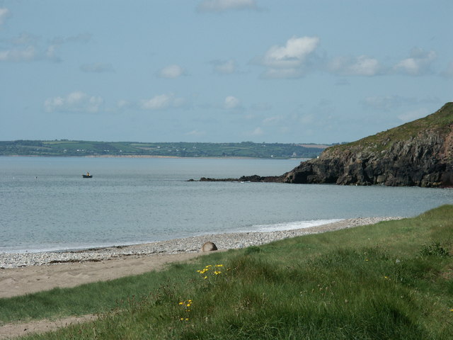 Caliso BayBeach / strand · 4.6 mi
 Ferry PointViewpoint · 4.7 mi