What is recorded here
Fairy forts are not fairy forts. They are human houses, farms and forts from before written records. The fairies came later, inheriting the shapes people had already made. That is often all a fairy fort is: a forgotten human place, renamed because nobody remembered the people who built it.
A circular area (diam. c. 39.2m) defined by an earthen bank (Wth c. 2.8m, int. H c. 0.6m, ext. H c. 0.9m) from E-SW, and from NW-NNE. Original entrance at NE.
The above description is derived from the published 'Archaeological Inventory of County Laois' (Dublin Stationery Office, 1995) compiled by P. David Sweetman, Olive Alcock and Bernie Moran. In certain instances the entries have been revised and updated in the light of recent research.
Date of upload: 17 December 2007
The monument record does not grant public access. Check the route and ask the landowner before entering private land.
- What survives
- Recorded monument
Places near here
 Enclosure in GraigueadrislyEnclosure · 1264 yd
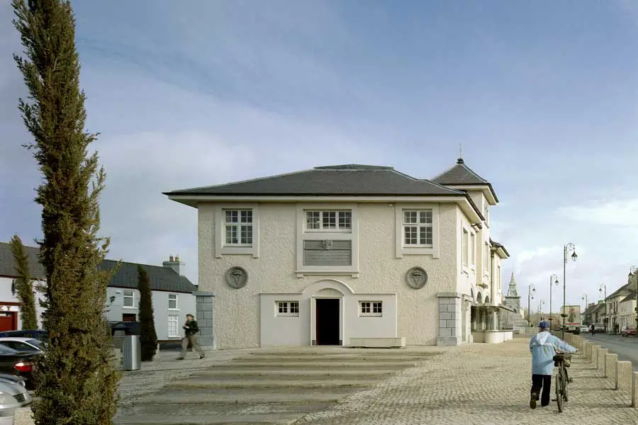 OutlinedEcclesiastical enclosure · 1356 yd
 Castle PierceHouse, fortified house · 1531 yd
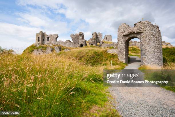 Baunaghra Ho. (in ruins)Castle, unclassified · 1.1 mi
 Church (in Ruins)Church · 1.5 mi
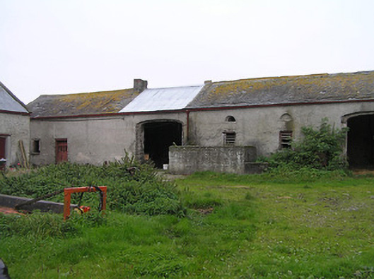 Bayswell Housefarmyard complex · 1.6 mi
 Cnoc SeanrathaMemorial · 2.0 mi
 Tullow HillMountain / peak · 3.0 mi
 Clonmeen WoodWood · 3.0 mi
 DelaneyMemorial · 4.8 mi
 College HillMountain / peak · 8.6 mi
 Morris's GroveForest · 9.2 mi