What is recorded here
Marianne and I walked the northern edge at dusk, her fingers tracing the coarse grass before she pulled back as if the soil had bitten her. We sat inside the circle until darkness took the field, listening for the heartbeat of every person who had stood there before us. When we left, Marianne kept one hand behind her, feeling the fort recede like a tide pulling from her skin.
A circular area (diam. c. 35m) defined by an earthen bank (Wth c. 2.5m, int. H c. 0.8m, ext. H c. 1.3m) and fosse (Wth c. 3.2m) at S. Possible original entrance at NE.
The above description is derived from the published 'Archaeological Inventory of County Laois' (Dublin Stationery Office, 1995) compiled by P. David Sweetman, Olive Alcock and Bernie Moran. In certain instances the entries have been revised and updated in the light of recent research.
Date of upload: 17 December 2007
The monument record does not grant public access. Check the route and ask the landowner before entering private land.
- What survives
- Recorded monument
Places near here
 OutlinedEcclesiastical enclosure · 984 yd
 Castle PierceHouse, fortified house · 1295 yd
 Enclosure in GraigueadrislyEnclosure · 1441 yd
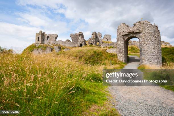 Baunaghra Ho. (in ruins)Castle, unclassified · 1622 yd
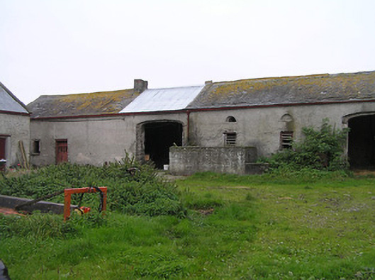 Bayswell Housefarmyard complex · 1.5 mi
 Church (in Ruins)Church · 1.6 mi
 Cnoc SeanrathaMemorial · 2.2 mi
 Tullow HillMountain / peak · 2.8 mi
 Clonmeen WoodWood · 3.0 mi
 DelaneyMemorial · 4.8 mi
 Morris's GroveForest · 9.0 mi
 St. Mary's Famine and War MuseumMuseum · 10 mi