What is recorded here
Situated on a SE-facing slope in undulating terrain. The site is quite denuded. A circular area (diam. 33m N-S; 38.2m) enclosed by a bank (reduced to a scarp (H 0.94m)), a fosse (Wth 5.8m; D 0.44m) and a poorly preserved outer bank (Wth 7.2m; ext. H 0.72m), flattened traces of which survive at N and W. There is a possible causewayed entrance in the SE quadrant. Surviving banks of old field boundaries (TN015-077002) run into the outer bank of the ringfort at NE and E and form two roughly D-shaped fields. These are visible on aerial photographs taken in 1973/4 (GSIAP, R 94/3; R 193/4).
The above description is derived from 'The Archaeological Inventory of County Tipperary. Vol. 1 - North Tipperary' compiled by Jean Farrelly and Caimin O'Brien (Dublin: Stationery Office, 2002). In certain instances the entries have been revised and updated in the light of recent research.
Date of upload/revision: 22 September 2008
The monument record does not grant public access. Check the route and ask the landowner before entering private land.
- What survives
- Recorded monument
Places near here
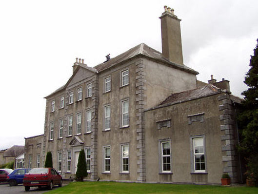 Beechwood Housecountry house · 492 yd
 Bawn in Graigue Upper (ardcrony Par.)Bawn · 525 yd
 IndicatedFairy fort / earthen ringfort · 1213 yd
 Kilruane Church (in Ruins)Church · 1391 yd
 James Devaney MemorialMemorial · 1475 yd
 Fulacht fia in Coolderry (ardcrony Par.)Fulacht fia · 1.3 mi
 Site of CastleCastle, unclassified · 1.6 mi
 Ballycapple WoodForest · 2.0 mi
 Knigh HillMountain / peak · 3.6 mi
 Old BarracksHeritage attraction · 3.7 mi
 Nenagh Heritage CentreMuseum · 3.9 mi
 MacDonagh HouseMemorial · 4.7 mi