What is recorded here
Fairy fort / earthen ringfort in Graigue (Moycarky parish) is a fairy fort or earthen ringfort in Graigue (Moycarky parish), County Tipperary, Ireland. It occupies a slight hollow in an undulating pasture field. A 41 metre north-south and 33 metre east-west circular area is defined by an earth and stone bank 1.3 metres wide, with an internal height of 0.42 metres and an external height of 0.86 metres. A shallow ditch 4 metres wide and 0.5 metres deep is visible at the north and east, while the external base of the bank is obscured by field clearance debris.
Situated in a slight hollow in an undulating field with successive rises and troughs, in pasture. A circular area (diam. 41m N-S; 33m E-W) defined by an earth and stone bank (Wth 1.3m; int. H 0.42m; ext. H 0.86m) and shallow fosse (Wth 4m; D 0.5m) visible at N and E. The external base of the bank is obscured by field clearance debris. There are two breaks in the bank in the W sector, one providing narrow cattle access to the site, the other is wider but is obscured by stones which have been dumped in this area.
The above description is derived from 'The Archaeological Inventory of County Tipperary. Vol. 1 - North Tipperary' compiled by Jean Farrelly and Caimin O'Brien (Dublin: Stationery Office, 2002). In certain instances the entries have been revised and updated in the light of recent research.
Date of upload/revision: 22 September 2008
The monument record does not grant public access. Check the route and ask the landowner before entering private land.
- What survives
- Recorded monument
Places near here
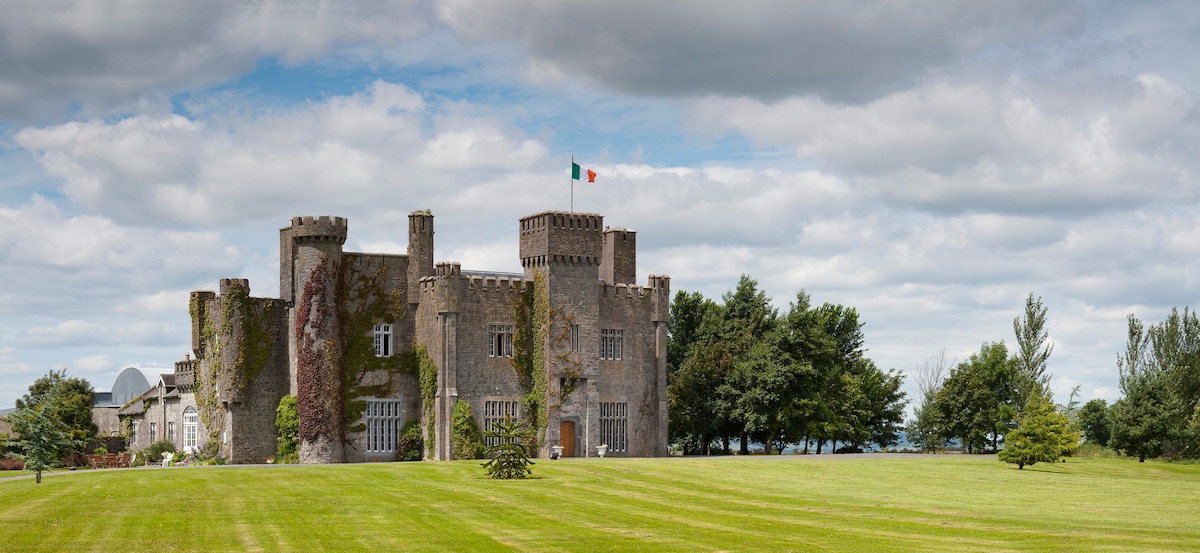 Graigue CastleCastle · 774 yd
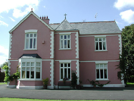 presbytery/parochial/curate's housepresbytery/parochial/curate's house · 1072 yd
 Church (in ruins), Grave Yd.Church · 1366 yd
 Castle in ruinsCastle, tower house · 1615 yd
 Enclosure in MoycarkyEnclosure · 1751 yd
 Enclosure in Killough (gaile Par.)Enclosure · 1.3 mi
 Gift Horse GalleryGallery · 1.6 mi
 Killough Hill (site of)Mountain / peak · 1.8 mi
 Wildlife CorridorWood · 2.3 mi
 Horse and JockeyVisitor information · 2.4 mi
 Byrnes's WoodsForest · 2.5 mi
 Lár na PáirceMuseum · 3.4 mi