What is recorded here
Nobody knows when the ring at Graigacurragh closed around itself or who first walked its marshy edge. Cattle still use the northern gap as if the fort belonged to them, while irises hide the ditch that once kept something else out. The fairies may have built it, or people may have built it and forgotten they existed.
In pasture, on low-lying marshy terrain, immediately W of passageway leading to farmyard complex to S. Sub-circular area (23.9m N-S; 20.6m E-W) defined by scarped edge with external fosse (Wth 0.6m; D 0.4m). Scarp (H 0.8m; Wth 1.6m), heavily masked by overgrowth, is best preserved along S side. Gaps in overgrowth at N (Wth 2.3m) and NE (Wth 1.1m) allow access points for cattle from adjacent field into interior. Fosse, covered by flag irises, is best preserved along N arc. Level interior under rough pasture.
Compiled by: Denis Power
Date of upload: 26 August 2011
See attached ASI aerial photograph ASIAP – 322/23, 24 on 05/10/2002.
The monument record does not grant public access. Check the route and ask the landowner before entering private land.
- What survives
- Recorded monument
Places near here
 Holy well in GraigacurraghHoly well · 962 yd
 Saint Joseph's Catholic Churchchurch/chapel · 1182 yd
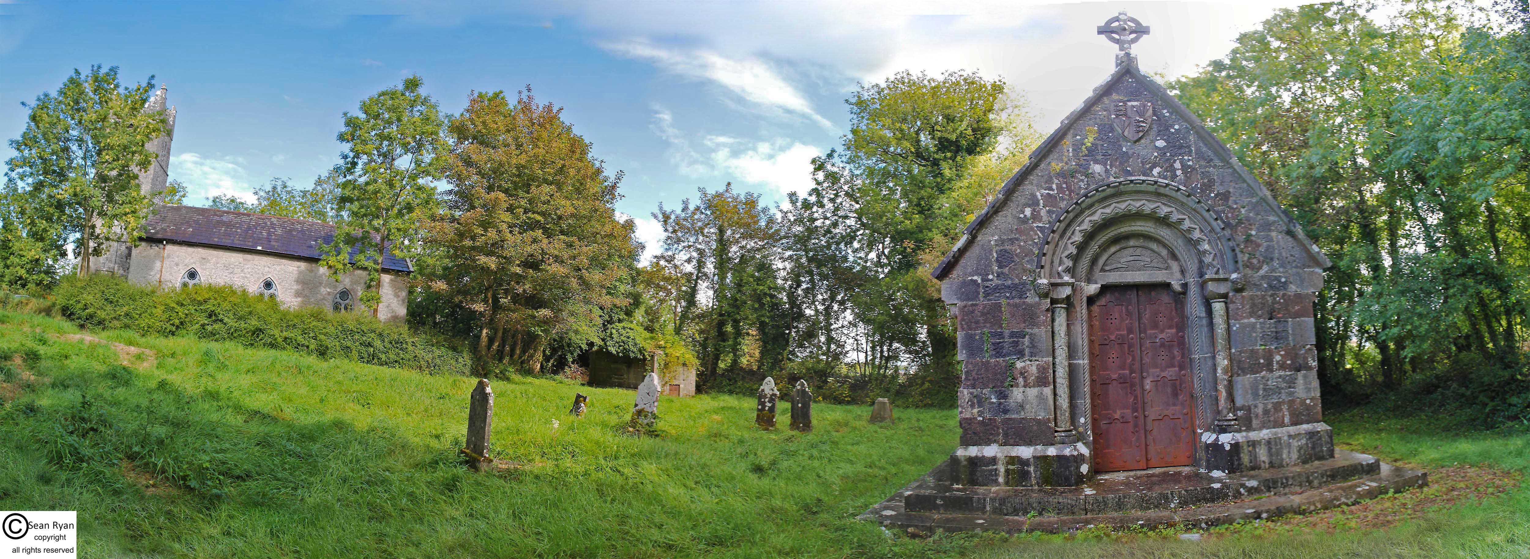 Burial Gd. for ChildrenChildren's burial ground · 1629 yd
 Castle (in ruins)Castle, tower house · 1.3 mi
 Granagh Housefarm house · 1.4 mi
 KnockfeerinaMountain / peak · 1.6 mi
 Famine stoneMemorial · 2.1 mi
 Kilmacow Ho.Bawn · 2.2 mi
 Kinnoor WellSpring · 3.4 mi
 Our Lady's WellSpring · 3.4 mi
 Dysert AenghusaHeritage attraction · 4.4 mi
 European ashEuropean ash · 4.7 mi