What is recorded here
Gortymadden holds a well-preserved circular rath thirty-seven metres wide, defined by two banks and an external fosse on a slight rise in undulating pastureland. A field boundary cuts through the monument at the south, while a possible man-made underground passage and a house site lie nearby. The earth remains sharp enough to suggest people lived there, feared there, or hid there before memory faded.
On a slight rise in undulating pastureland. Well-preserved circular rath (diam. 37m) defined by two banks and an external fosse. A field boundary cuts through the monument at S. A possible Man-made underground passage (GA106-082002-) is associated. A house site (GA106-082003-) lies c. 50m to W.
Compiled by: Galway Archaeological Survey, UCG
Date of upload: 4 January 2018
The monument record does not grant public access. Check the route and ask the landowner before entering private land.
- What survives
- Recorded monument
Places near here
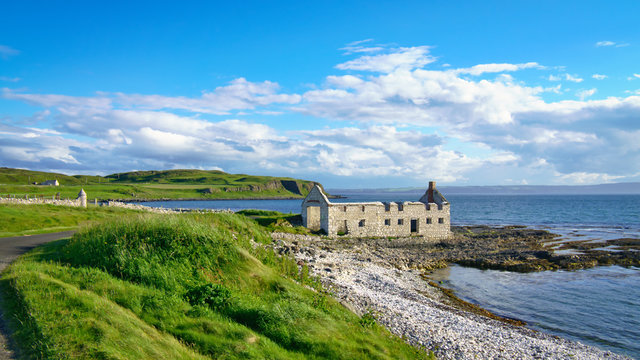 Ballyfintan FortFairy fort / earthen ringfort · 1221 yd
 Brooklawn Ho.Country house · 1475 yd
 IndicatedQuarry · 1550 yd
 ‘Dogs Fort’Fairy fort / earthen ringfort · 1.1 mi
 CastleCastle, unclassified · 1.2 mi
 Streamstown Castle (in ruins)Castle, unclassified · 2.2 mi
 Dartfield Horse MuseumHeritage attraction · 3.4 mi
 Quarryhill WoodWood · 4.5 mi
 Bog WoodForest · 5.0 mi
 Battle of AughrimMajor battlefield · 7.8 mi
 The bloody HollowHeritage attraction · 7.9 mi
 Battle of Aughrim Interpretative CentreMuseum · 8.1 mi