What is recorded here
Fairy fort / earthen ringfort in Gortygara is a fairy fort or earthen ringfort in Gortygara, County Sligo, Ireland. The roughly circular earthwork sits in waterlogged pasture on a drumlin ridge, with a low scarp and a silted fosse visible along its northern edge. Its western edge is now cut by a field boundary, although the 1838 Ordnance Survey map still showed it as an unbroken embanked circle.
In waterlogged pasture, on top of a drumlin ridge. A roughly circular area (int. diam. 24.7m N-S; 26.8m E-W) defined by a scarp (max. H 0.6m) with a silted-up external fosse (Wth 1.5m; D 0.1m) evident along the N arc. The interior is uneven and waterlogged and slopes down to N. The W edge of the rath is truncated by a NNW-SSE field boundary. Indicated on the 1838 OS 6-inch map as an embanked circular area (diam. c. 32m) not truncated by any field boundary.
The above description is derived from the published 'Archaeological Inventory of County Sligo' compiled by Ursula Egan, Elizabeth Byrne, Mary Sleeman with Sheila Ronan and Connie Murphy (Dublin Stationery Office, 2005).
Date of upload: 18 January 2008
The monument record does not grant public access. Check the route and ask the landowner before entering private land.
- What survives
- Recorded monument
Places near here
 Enclosure in KnocknahooEnclosure · 378 yd
 Knockmore PrioryRuins · 767 yd
 Enclosure in Ogham (corran By.)Enclosure · 1.2 mi
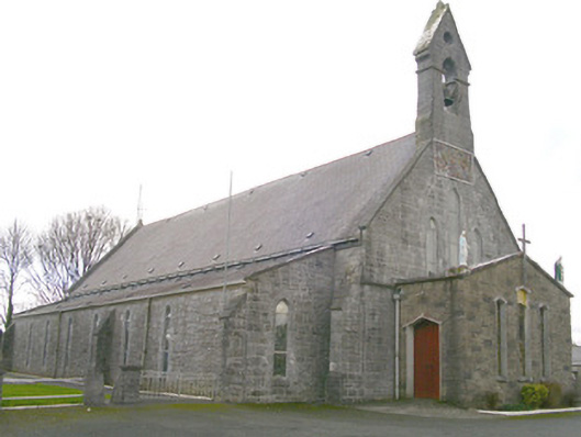 Saint Patrick's Catholic Churchchurch/chapel · 1.9 mi
 Ballyfahy Castle (in Ruins)Castle, unclassified · 2.7 mi
 Tymon's HillMountain / peak · 3.8 mi
 Moygara Castle (in Ruins)Bawn · 4.2 mi
 Bockagh HillMountain / peak · 5.3 mi
 Caves of KeshCave · 5.6 mi
 Crow IslandIslet · 5.8 mi
 Castle PointHeadland · 6.4 mi
 Inch IslandIslet · 6.4 mi