What is recorded here
Fairy fort / earthen ringfort in Gortygara is a fairy fort or earthen ringfort in Gortygara, County Sligo, Ireland. It occupies low-lying wet ground where surrounding higher ground restricts views. A slightly raised roughly circular area measures 25.7 metres north-south and 28.3 metres east-west inside an earthen bank. The bank reaches 2.8 metres width and 0.8 metres external height along the western arc but degrades to 0.2 metres internal height toward the east.
In low-lying wet ground with views restricted by the surrounding higher ground. A slightly raised roughly circular area (int. diam. 25.7m N-S; 28.3m E-W) enclosed by an earthen bank, highest along the W arc (Wth 2.8m; int. H 0.6m; ext. H 0.8m), which is degraded (int. H 0.2m to E) and levelled in places along the E arc. A waterlogged area surrounding the bank externally probably indicates a silted-up fosse. Numerous cattle gaps occur in the bank as well as a possible entrance at E. The waterlogged interior rises towards the centre and is overgrown with rushes.
The above description is derived from the published 'Archaeological Inventory of County Sligo' compiled by Ursula Egan, Elizabeth Byrne, Mary Sleeman with Sheila Ronan and Connie Murphy (Dublin Stationery Office, 2005).
Date of upload: 18 January 2008
The monument record does not grant public access. Check the route and ask the landowner before entering private land.
- What survives
- Recorded monument
Places near here
 Enclosure in KnocknahooEnclosure · 1177 yd
 Knockmore PrioryRuins · 1282 yd
 Enclosure in Ogham (corran By.)Enclosure · 1.2 mi
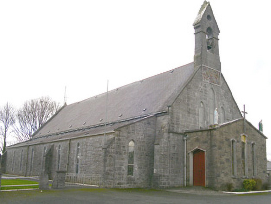 Saint Patrick's Catholic Churchchurch/chapel · 1.9 mi
 Ballyfahy Castle (in Ruins)Castle, unclassified · 2.5 mi
 Tymon's HillMountain / peak · 3.7 mi
 Moygara Castle (in Ruins)Bawn · 4.1 mi
 Caves of KeshCave · 5.1 mi
 Kesh CorannMountain / peak · 5.6 mi
 Crow IslandIslet · 5.7 mi
 School CaveCave · 6.1 mi
 Inch IslandIslet · 6.4 mi