What is recorded here
Fairy forts are human ringforts renamed because people stopped remembering the hands that built them. In Gortroe, a thirty-five metre earthen arc still borders a small field, its shallow fosse and low bank surviving beneath rough pasture. The western trace has disappeared under growth, but the eastern curve remains clear enough to walk. That much of a inhabited place can vanish into grass, while so little resists forgetting, is what makes the fortune sound like truth.
In rough pasture, on level plateau. Arc (C 35m) N->SSE, formed by earthen bank (ext. H 0.42m) with external fosse (D 0.68m), forms E side of small field. Trace of earthen bank and external fosse visible within field to W; heavily overgrown.
The above description is derived from the published 'Archaeological Inventory of County Cork. Volume 4: North Cork' (Dublin: Stationery Office, 2000). In certain instances the entries have been revised and updated in the light of recent research.
Date of upload/revision: 14 January 2009
The monument record does not grant public access. Check the route and ask the landowner before entering private land.
- What survives
- Recorded monument
Places near here
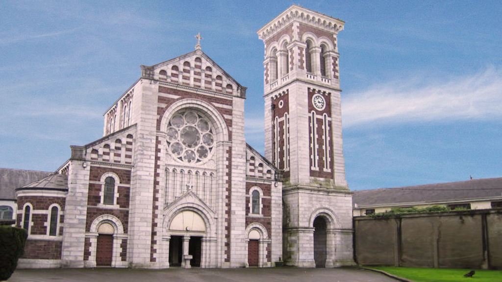 Church (Site of)Church · 1350 yd
 Mound in KnockagarryMound · 1473 yd
 Labbamolaga Church (in Ruins)Church · 1.1 mi
 IndicatedHouse, vernacular house · 1.3 mi
 Ballyarthur HillMountain / peak · 1.6 mi
 Carriganoura Castle (in Ruins)Castle, tower house · 2.1 mi
 Kilclooney WoodWood · 2.4 mi
 White Knights Tower (Site of)Castle, unclassified · 3.0 mi
 John MandevilleMemorial · 3.5 mi
 Mitchelstown Town MapVisitor information · 3.5 mi
 Statue of Saint FanahanMemorial · 3.6 mi
 CarrigeenamronetyMountain / peak · 4.3 mi