What is recorded here
Fairy fort / earthen ringfort in Gortnaskarry stands on a low rise beside the Laune and Gweestin rivers, its 38.3m circular chamber hidden beneath dense vegetation. The bank rises 4.3m above a wide external fosse, suggesting a place built to be seen, defended or remembered. People may have lived, gathered or fled there before the green took back the truth.
Internal diam. 38.3m NE-SW
Located on a low rise about 100m SW of the confluence of the Laune and Gweestin rivers, this roughly circular rath is enclosed by a heavily overgrown bank and external fosse. At SW the fosse is 1.1m deep below external ground level and measures 4.3m wide. Here the bank rises to a height of 4.3m and falls 1.3m to the interior of the site. The bank has a basal width of 3.3m. The interior is obscured with dense vegetation and no surface features are apparent.
The above description is derived from A. O'Sullivan and J. Sheehan (compilers), 'The Iveragh peninsula: an archaeological survey of South Kerry'. Cork University Press (1996), no. 519. In certain instances the entries have been revised and updated in the light of recent research.
Date of upload: 29 July 2013
The monument record does not grant public access. Check the route and ask the landowner before entering private land.
- What survives
- Recorded monument
Places near here
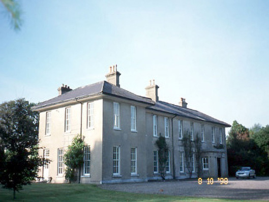 The Reekscountry house · 1103 yd
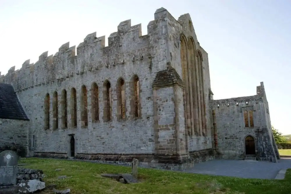 Man-made underground passage in ArdrawMan-made underground passage · 1229 yd
 Ballymalis Castle (in ruins)Castle, tower house · 1440 yd
 Ballymalis CastleCastle · 1441 yd
 Ballymalis Br.Bridge · 1.1 mi
 LissaniskaFairy fort / earthen ringfort · 1.2 mi
 The Kerry Creamery ExperienceHeritage attraction · 2.3 mi
 Clash IslandIslet · 3.2 mi
 Cloon IslandIsland · 3.3 mi
 King Puck statueMemorial · 3.3 mi
 Dunloe Ogham StonesHeritage attraction · 3.8 mi
 Japanese pagoda treeJapanese pagoda tree · 3.9 mi