What is recorded here
Half a hectare of Cavan soil, raised into a circle and cut by a waterlogged ditch, still holds the shape of a home. The eastern gap and its faint causeway point to the door used by the people who lived there before the ditch filled with rain and time. Inside the bank, a hidden passage may still descend into the earth, waiting for someone brave enough to follow the dark.
Raised circular area (int. diam. 35.2m) enclosed by a substantial earthen bank and a wide, deep, waterlogged fosse. Wide break in bank with vague traces of accompanying causeway at E may represent original entrance. Possible Man-made underground passage within internal area (CV026-039002-).
The above description is derived from the published 'Archaeological Inventory of County Cavan' (Dublin: Stationery Office, 1995). In certain instances the entries have been revised and updated in the light of recent research.
Date of upload/revision: 22 December 2008
The monument record does not grant public access. Check the route and ask the landowner before entering private land.
- What survives
- Recorded monument
Places near here
 Aghalackan EastMountain / peak · 921 yd
 Enclosure in PolesEnclosure · 1697 yd
 Aghalackan WestMountain / peak · 1.1 mi
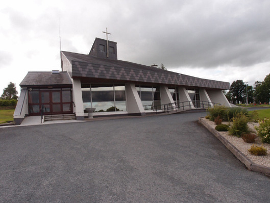 St Dymphna's Roman Catholic Churchchurch/chapel · 1.3 mi
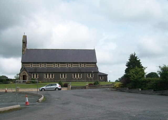 St Brigid's Roman Catholic Churchchurch/chapel · 1.4 mi
 Ancient Order of Hibernians MemorialMemorial · 1.5 mi
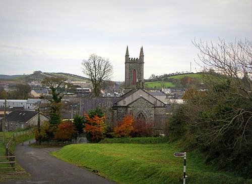 IndicatedHoly well · 1.6 mi
 To The Memory of P.J. DukeMemorial · 2.0 mi
 Killymeehan ForestForest · 2.7 mi
 Bawn in MoynehallBawn · 2.8 mi
 Carricknagore RockNamed rock · 2.9 mi
 Shantemon ForestForest · 2.9 mi