What is recorded here
Dense scrub and tall grasses now strangle a thirty-six metre earthen ring in Gortnagross, hiding the footprints of whoever first shaped the soil. The bank rises barely thirty centimetres inside but throws a metre-thirty scarp outward where the ground steps down, suggesting people once looked out over a dropping valley rather than merely keeping cattle inside. That is the shape of a watched threshold, not a decorative heap.
In pasture, on terrace in N-facing slope. Area of site covered by dense overgrowth of scrub and tall grasses. Roughly circular area (36m E-W) enclosed by earthen bank. Bank overlain/replaced by field boundary NE->SE and covered by dense overgrowth SE->WSW. Bank (int. H 0.3m; ext. H 0.45m) best preserver WSW->NW. From NW->NE bank becomes scarp-like (int. H 0.2; ext. H 1.3m); along here ground falls away from external face of scarp in series of steps. Field boundary which abutted external bank face at NW has been removed. Interior surface noticeably uneven, and slopes down gently to ENE. In E quadrant is irregular-shaped depression (2m N-S; 2.5m E-W; D c. 0.4m).
Compiled by: Denis Power
Date of upload: 26 August 2011
This remains an important historical record, but the official description says the monument is no longer visible or has been destroyed. The monument record does not grant public access. Check the route and ask the landowner before entering private land.
- What survives
- No visible remains or recorded as destroyed
Places near here
 OutlinedHoly well · 196 yd
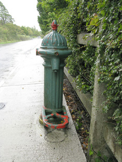 water pumpwater pump · 1167 yd
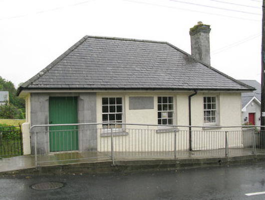 Athea Carnegie Librarylibrary/archive · 1424 yd
 Killeen Grave YardChildren's burial ground · 1.1 mi
 Lawson's CypressLawson's Cypress · 1.7 mi
 Purt CastleCastle · 3.6 mi
 Castle (in ruins)Castle, unclassified · 4.4 mi
 TobereenalaffinaSpring · 5.8 mi
 Barnagh HillMountain / peak · 6.4 mi
 John B. KeaneMemorial · 7.8 mi
 Statue of SchillerMemorial · 7.8 mi
 Kerry Writers' MuseumMuseum · 8.3 mi