What is recorded here
Two ringforts sit seventy metres apart on a Galway rise, yet the larger claims the memory of the field. Its thirty-metre bank still brackets the southern sky while modern gaps admit wind and livestock. People may have lived beside one another there, sharing water and watching weather pass from either circle. Distance does not erase connection; it invites two households to remain distinct yet aware.
On a rise in undulating grassland. Almost circular rath (N-S 31m, E-W 30.5m), in fair condition, defined by a bank best preserved at S. Numerous gaps in the bank appear modern. A field boundary cuts the monument at NE. A ringfort (GA099-096----) lies c. 70m to SW.
The above description is derived from the published 'Archaeological Inventory of County Galway Vol. II - North Galway'. Compiled by Olive Alcock, Kathy de hÓra and Paul Gosling (Dublin: Stationery Office, 1999).
Date of upload: 05 August 2010
The monument record does not grant public access. Check the route and ask the landowner before entering private land.
- What survives
- Recorded monument
Places near here
 Loughunbrean FortFairy fort / earthen ringfort · 632 yd
 Enclosure in Ballagh West (clonmacnowen By.)Enclosure · 934 yd
 Ballagh Castle (in Ruins)Castle, unclassified · 1406 yd
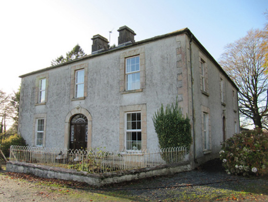 Cartron Househouse · 1557 yd
 Quarry in Carrowkeel (clonmacnowen By.)Quarry · 1639 yd
 Bawn in Cooltymurraghy (clonmacnowen By.)Bawn · 1.5 mi
 European BeechEuropean Beech · 1.9 mi
 The bloody HollowHeritage attraction · 2.0 mi
 European YewEuropean Yew · 2.1 mi
 Battle of AughrimMajor battlefield · 2.3 mi
 Urraghry HillMountain / peak · 2.3 mi
 Battle of Aughrim Interpretative CentreMuseum · 2.9 mi